The walking route guide
Part of the ‘Where’s the Brew Stop? The off-road cycle touring website’
The site about off-road cycle touring routes, Cyclist’s Cafes, Local off-road Cycling Group events and Good
Photos.




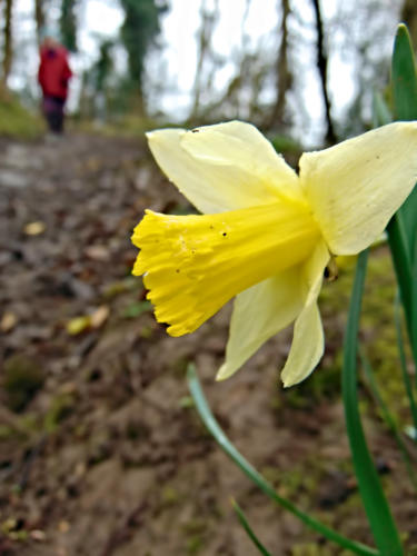
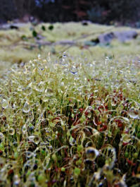
A 1.9 mile walk to Parkend Moss
This is 1.9 mile walk, starting and finishing at National Trust car park in Brigsteer Park Wood. You can see photos and report of
walk at this link. The map use on the walk is Ordnance Survey Explorer OL7 The English Lakes South-eastern area. You can
click here to download the route in Tracklogs Format or click here to download the route in GPS Exchange Format or click here
to download the route in Memory Map Navigator Overlay Format or click here to download the route which suitable for use with
Quo Mapping Software.
To download a route, click the link to gps route file you are interest in downloading, then click ‘save link as’ to download gps
route file to your computer.




- Walking Routes Guide index page
- A 4.6 mile walk to Jenny Brown's Point
- A 1.5 mile walk to Fairy Steps
- A 1.1 mile walk around Kirkby Lonsdale
- A 1.6 mile walk to New Barns Bay
- A 1.9 mile walk to Parkend Moss
- A 5.9 mile walk to Silverdale
- A 2.9 mile walk around Arkholme
- A 4.47 mile walk to Roeburndale
- A 3.99 mile walk to Wray