The walking route guide
Part of the ‘Where’s the Brew Stop? The off-road cycle touring website’
The site about off-road cycle touring routes, Cyclist’s Cafes, Local off-road Cycling Group events and Good
Photos.


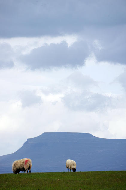
A 4.47 mile walk to Roeburndale
This is 4.47 mile walking route, starting and finishing in Wray, there one cafe stop at the Bridge House Farm
Tearooms in Wray. You can read report and look at the photos of the walk at this link. The map use on the
walk is Ordnance Survey Explorer OL41 Forest of Bowland and Ribblesdale. You can click here to download
the route in GPS Exchange Format.
To download a route, click the link to gps route file you are interest in downloading, then click
‘save link as’ to download gps route file to your computer.


- Walking Routes Guide index page
- A 4.6 mile walk to Jenny Brown's Point
- A 1.5 mile walk to Fairy Steps
- A 1.1 mile walk around Kirkby Lonsdale
- A 1.6 mile walk to New Barns Bay
- A 1.9 mile walk to Parkend Moss
- A 5.9 mile walk to Silverdale
- A 2.9 mile walk around Arkholme
- A 4.47 mile walk to Roeburndale
- A 3.99 mile walk to Wray