'Where's the Brew Stop? The off-road cycle touring website'.
About off- road cycle touring routes, cyclist’s cafes, off-road cycle touring, local group events and good photos.
For cyclists who love off-road leisure cycling in Northern England


2021 Photo Galleries


16th May 2021 walk to Wray (Page two)
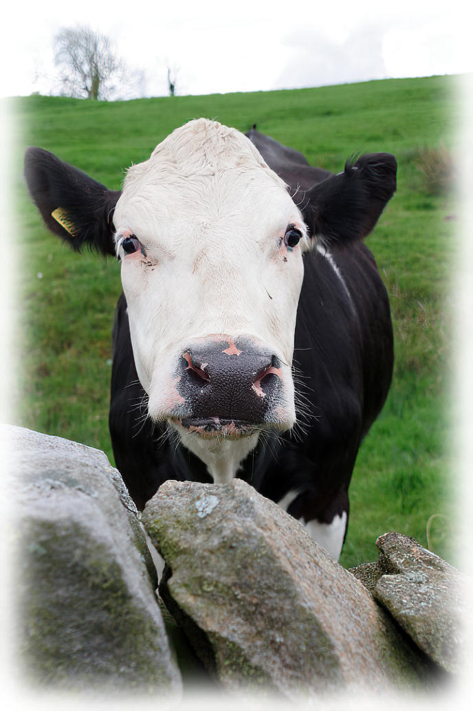
A cow looking over the wall
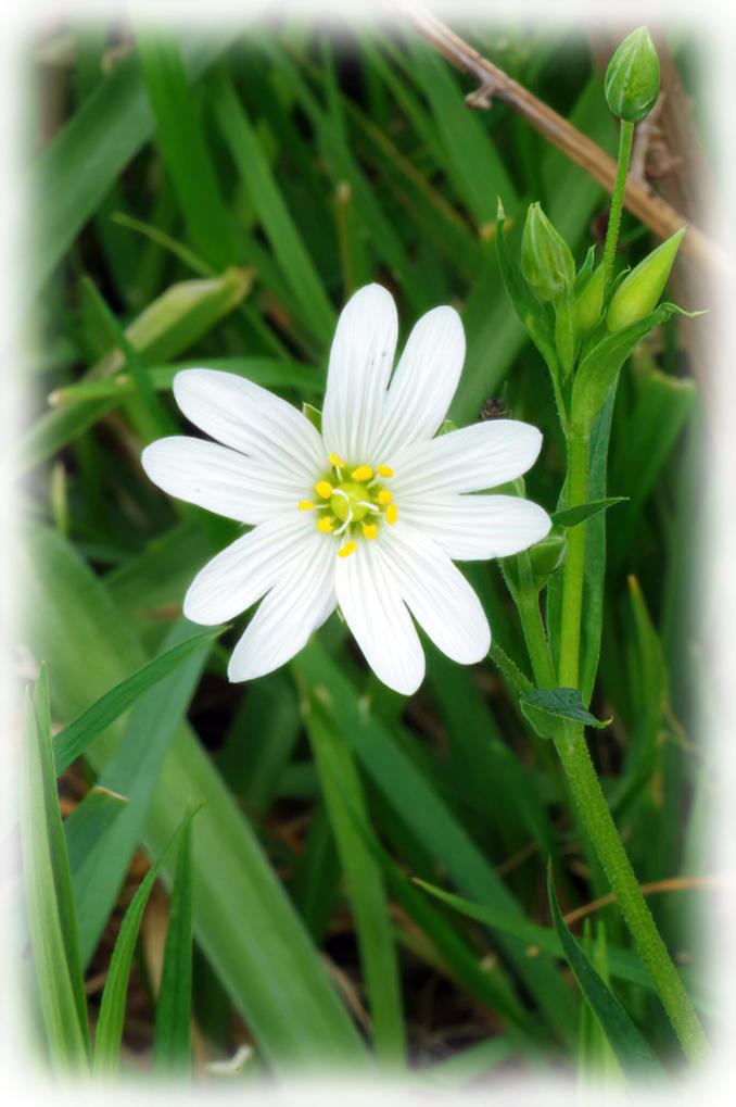
Greater Stitchworth flowering at side of the footpath near Neddy Park Wood.

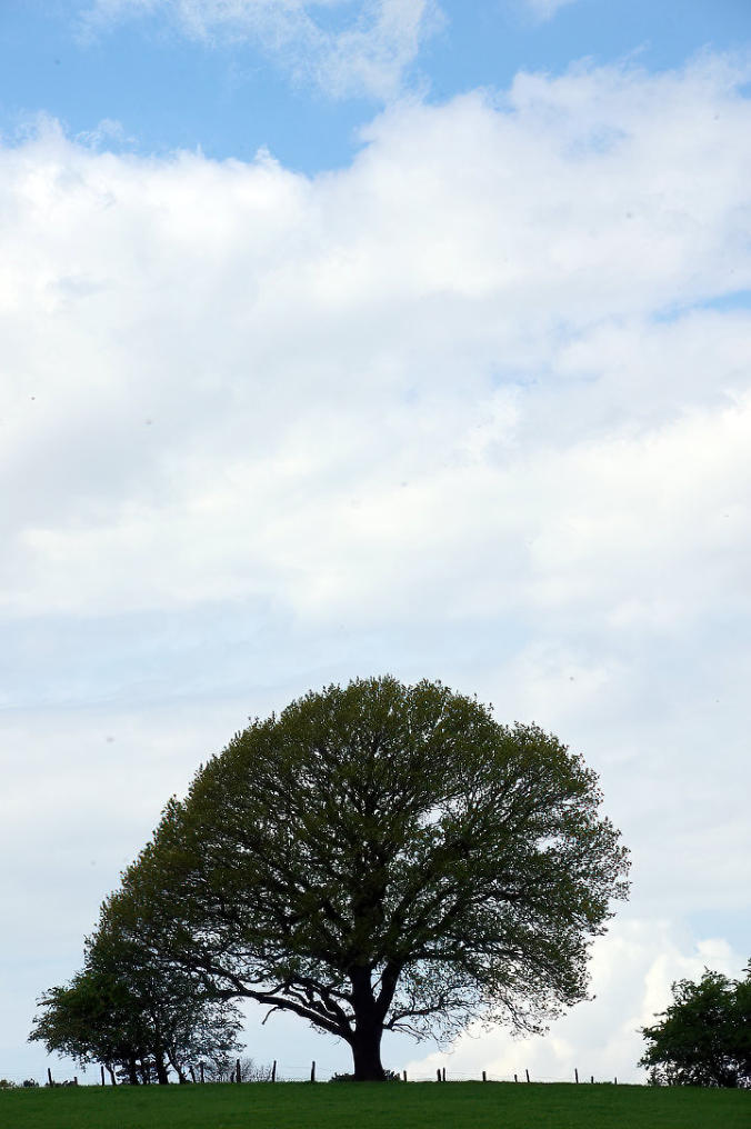
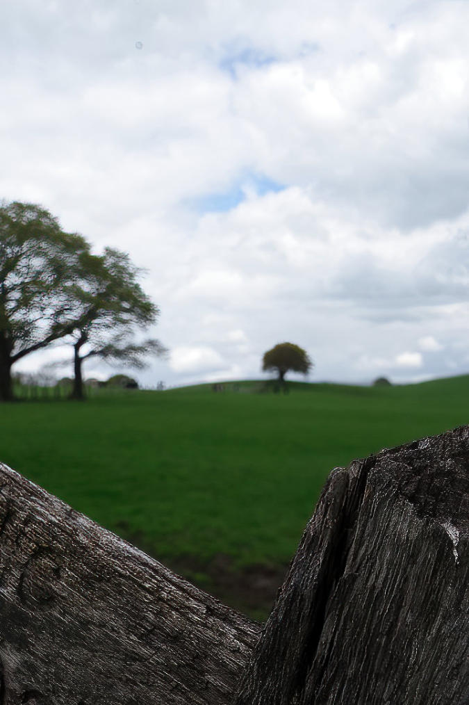
A tree on the skyline.
The view looking back along the footpath from Moor Lane.
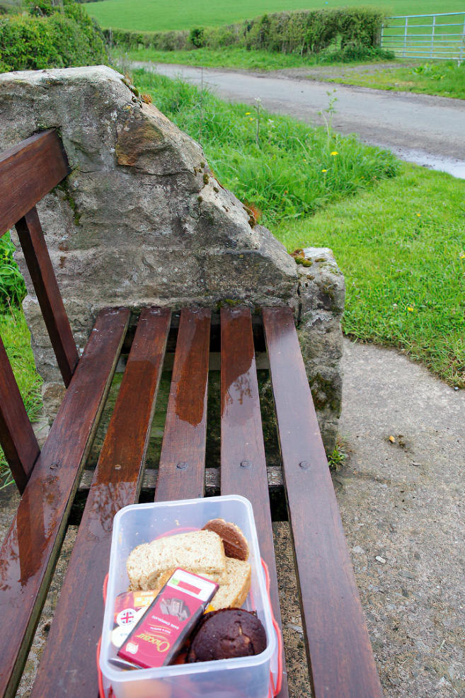
Short stop to have some thing to eat.
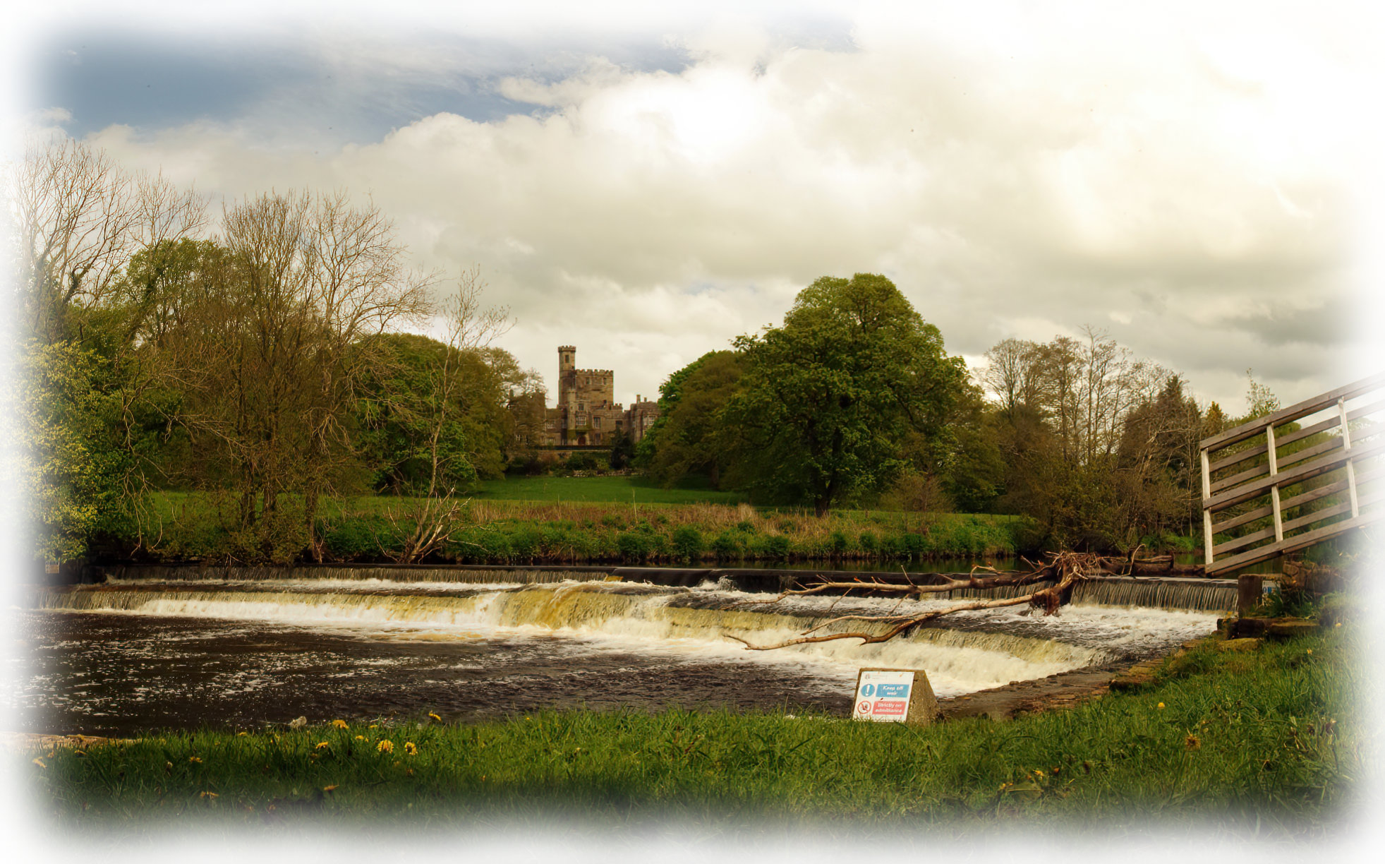
The view looking over the River Wenning towards Hornby Castle (Click photo to see a larger image of the
photo)
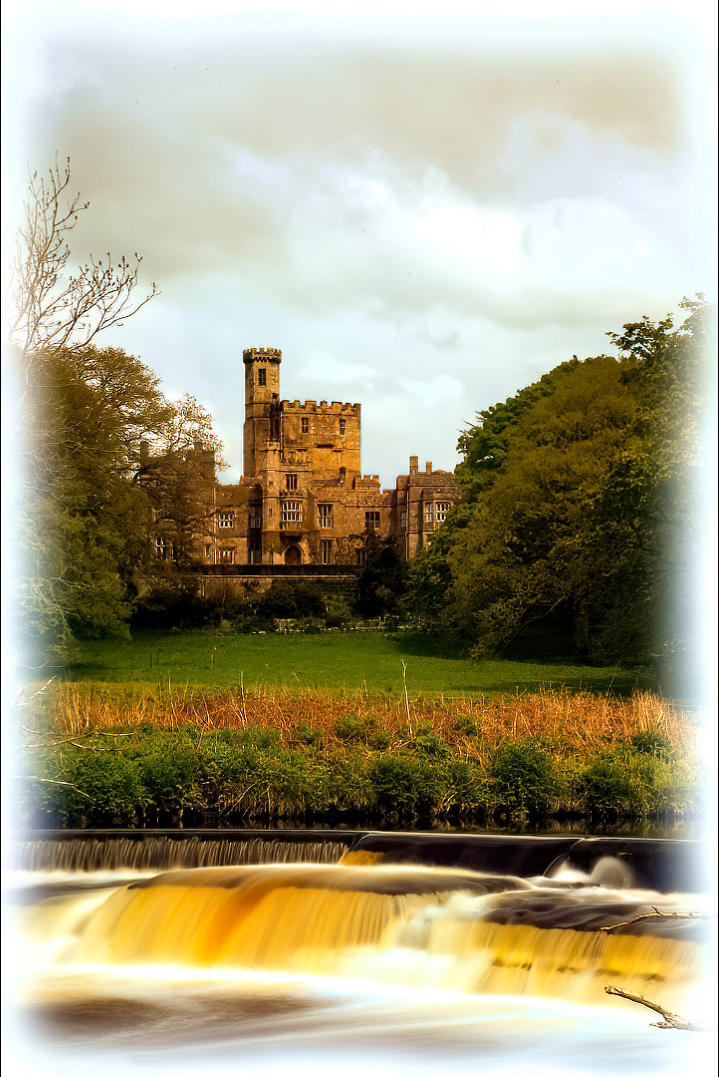
The view looking over the River Wenning towards Hornby Castle.
Copyright 2001 to 2021 D. Simeon Orme
Copyright 2001 to 2021 D. Simeon Orme
Copyright 2001 to 2021 D. Simeon Orme
Copyright 2001 to 2021 D. Simeon Orme
Copyright 2001 to 2021 D. Simeon Orme
Copyright 2001 to 2021 D. Simeon Orme
Copyright 2001 to 2021 D. Simeon Orme
Copyright 2001 to 2021 D. Simeon Orme
Walk report by Simeon Orme
It was one of those walks that was looking on the map and wondering what the landscape was like and its still
not legal to ride a bike on footpath in England. So I had go exploring on two feet instead of two wheels.
Hornby got more going for it, as starting point for bike rides than for walks that jump out of the map say that
should do this walk.
For starting point for bike ride, its got a lot offer with cheap car parking by the bridge at £2.00 to park the car
for the day or £1.00 for half day of car parking. For those who don’t like ride your bike along that section of
A683 from the Caton to Hornby its good option for going exploring the northern parts of the Forest of
Bowland Area Outstanding Natural Beauty or the Western Parts of the Yorkshire Dales National Park but for
walk there are better places to start walk from but this walk look like it could be interesting.
After crossing over the A683 in Hornby, you need to look at the map to check you going in the right direction,
as the footpath go through a farm yard, I made the mistake of choosing the path going through Bear’s Head
Wood but that down to no clear signposting in the farm yard, the lower foot path following the River Wenning
a bit longer could be far interesting route to chose.
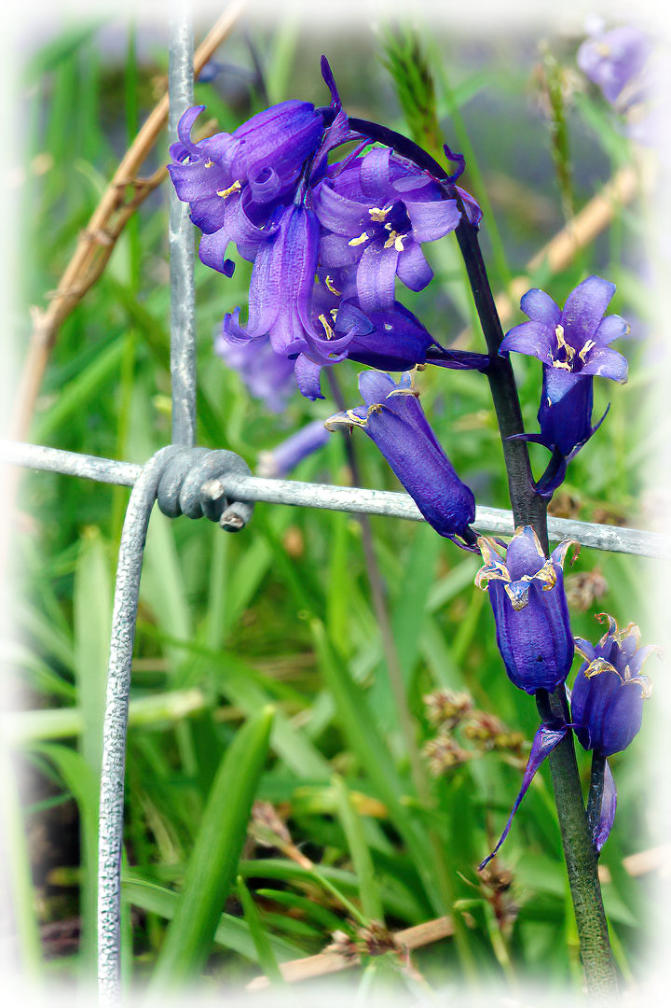
It was a bit of steep climb following the footpath through Bear’s Head Wood which was full of Wild Garlic
and Bluebells in full bloom. Once you left the wood, the path was well mark for first the field, once you climb
over stile into next field, you need to stop open up the map and work out where you going next, has there no
clear direction of where should go, as its all agricultural grassland, a hint to the landowner a few fence posts
painted in yellow paint would be helpful to guide walker across this agricultural farmland which had been
spray with selective weedkiller in pass few months to kill off broad leaf meadow flowering plants like
dandelions to promote grass growth for meat and milk production which a lot of us tend to forget that a lot of
countryside in England is outside factory, for producing something for human population to eat but when
walking this sort of grassland it a bit boring but you have put up with few fields until you hit the old railway
which the footpath follows for short distance before crossing over it.
Once I crossed over the old railway line, there more wild flowers about and the signposting of footpaths and
the bridleway which I followed to Meal Bank Bridge was a lot better.
At Meal Bank Bridge, I cross over the B6480 and then followed the footpath along the banks of the River
Hindburn and River Roeburn up to Wray Bridge, where I cross over it and stop for a brew and cake at the
Bridge House Farm Tearoom.
After my brew stop, I headed up the Roeburn Valley to the Kitten Bridge where I cross back over the River
Roeburn and followed the path to School Lane. Then headed up School Lane for short distance before
following the footpath from School Lane to Moor Lane, I think highlight of this path was looking at spring
flowers in Neddy Park Wood but nothing write home about the rest of the footpath, it was well mark but needs
a new footpath sign on the Moor Lane side of the footpath which leaning at unhappy angle.
Once I was back on the tarmac, a short stop on bench to eat some food before following Moor Lane and
Station Road back to Hornby.
I was out walking for about four hours and yes it was interesting walk for me but it not one would again in the
near future.
You can click here to see photos of 23rd May walk around Arnside Knott or you can click here to download
the 3.99 mile route or you can checkout the What’s New Page to see what’s new on the site.
- Page one - Walk report - Route -