'Where's the Brew Stop? The off-road cycle touring website'.
About off- road cycle touring routes, cyclist’s cafes, off-road cycle touring, local group events and good photos.
For cyclists who love off-road leisure cycling in Northern England


2021 Photo Galleries


2nd April 2021 ride to Cockerham
- Ride report - Route -
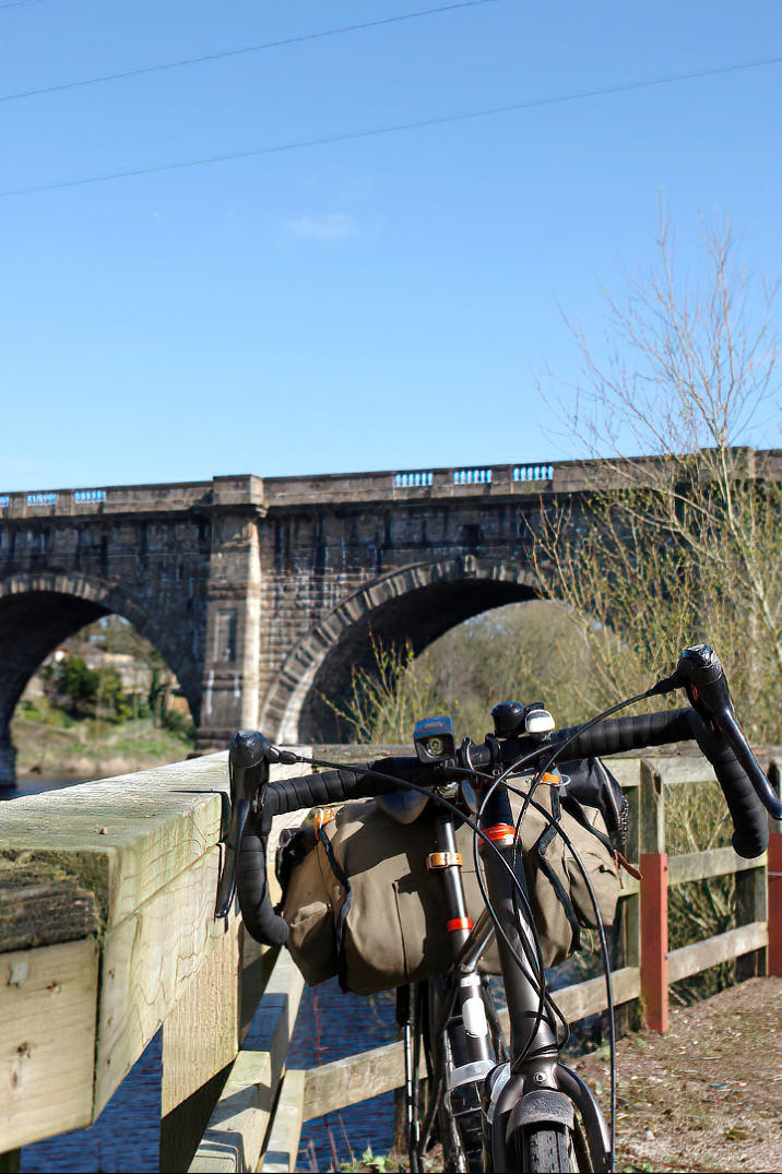
The view looking back up the River Lune towards the Lune Aqueduct.
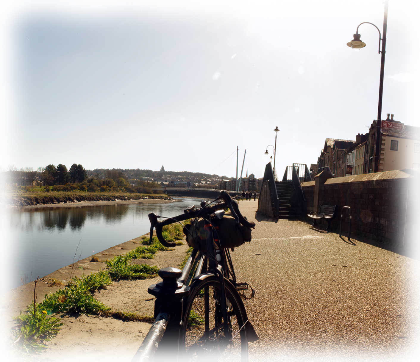
The view looking back down the cycle path along side St George Quay in Lancaster (Click photo to view a
larger image of the photo).
A view of the cycle path near end Aldcliffe Hall Lane
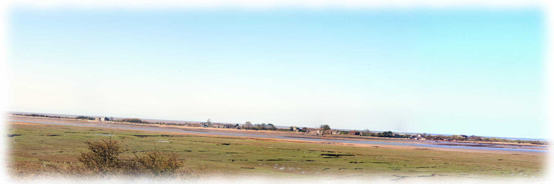
The view from Tithe Barn Hill looking across the River Lune towards Sunderland (You need to click the photo to
view a larger image of the photo)
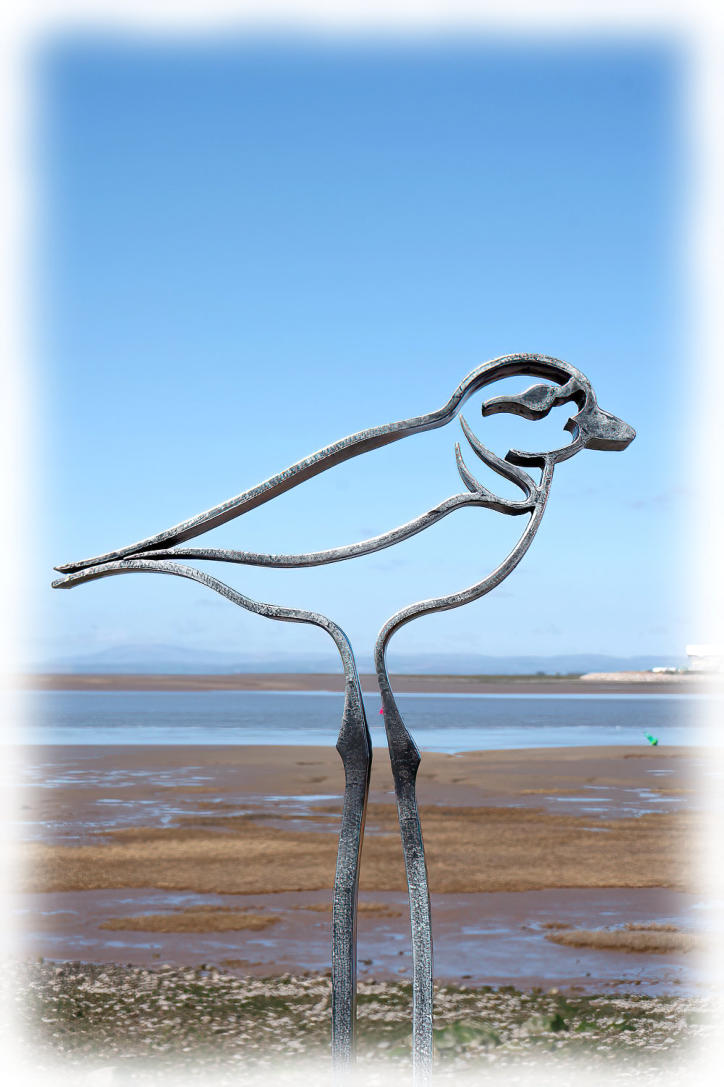
Public art near Abbey Lighthouse Cottage
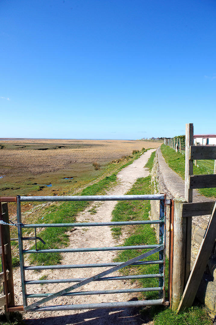
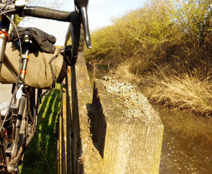
Looking back at end of the public footpath from Bank Houses to Bank End.
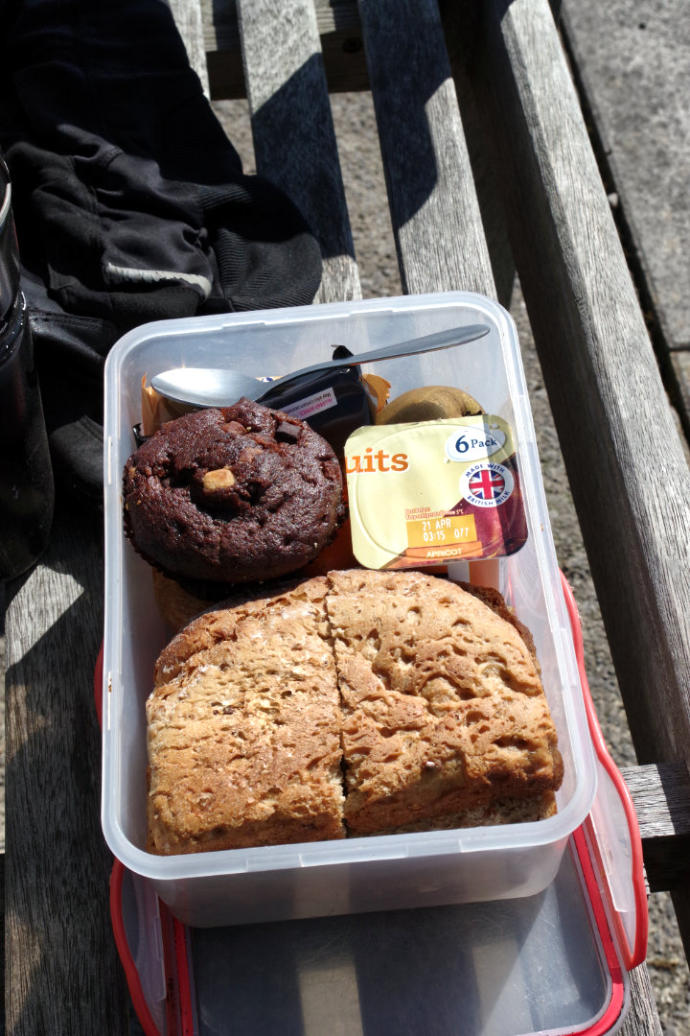
A lunch time in Cockerham.
A view of the Lancaster Canal near Cockerham Road Bridge looking towards Potters Brook (Click the photo to
view a larger image of the photo)
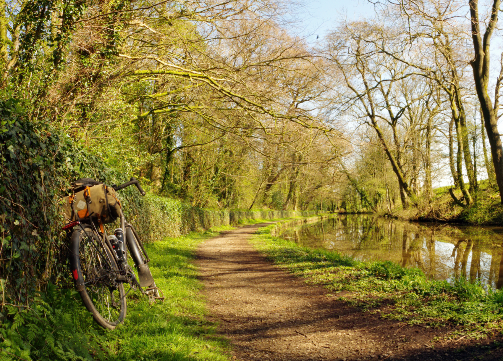
A canal view in Potters Brook.
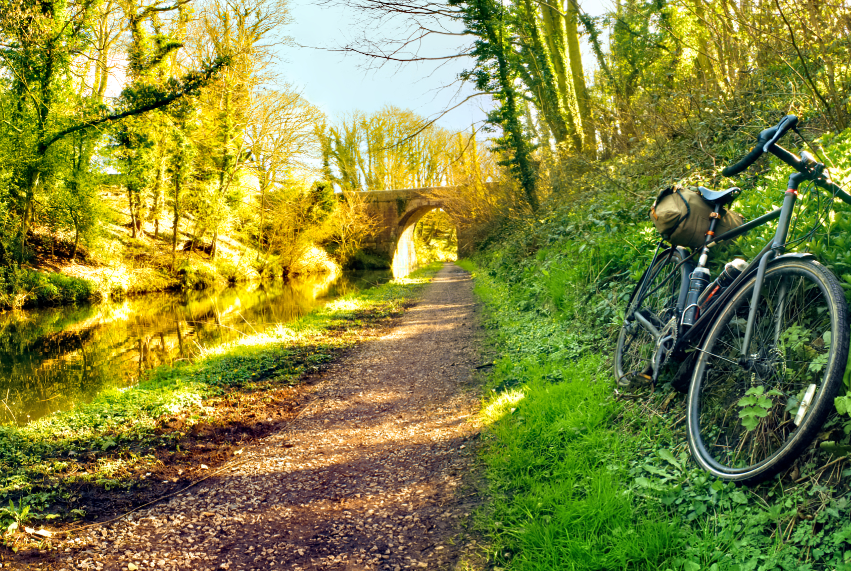
The view looking back along the canal towards Ellel Grange (Click the photo to see a larger image of the photo).
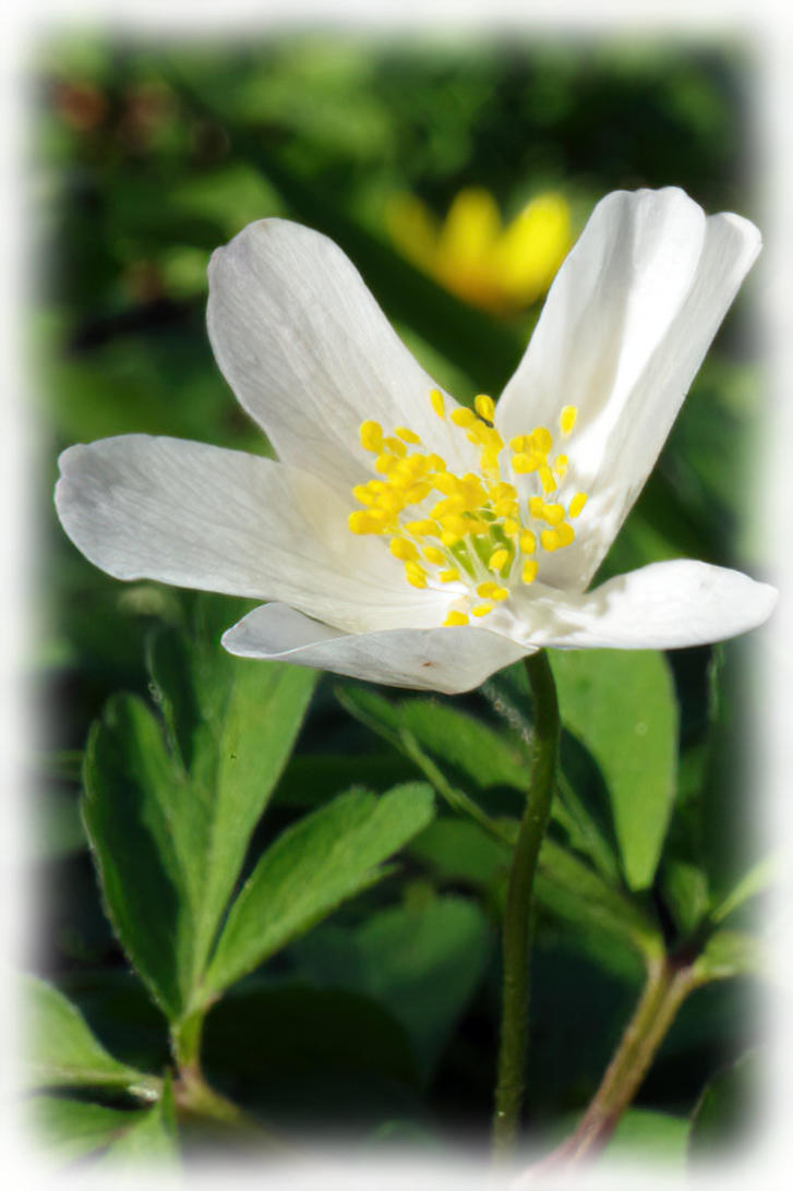
Wood Anemone at side of the towpath of Lancaster Canal
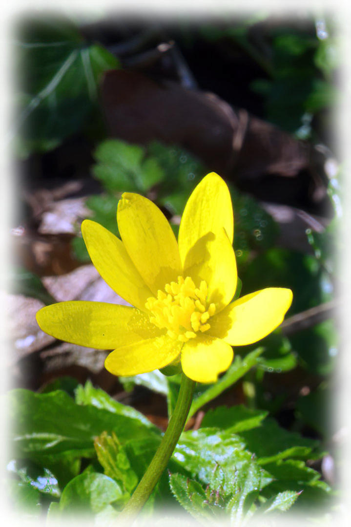
A close up of Lesser Celandine in flower at side of the towpath of Lancaster Canal.
Copyright 2001 to 2021 D. Simeon Orme
Copyright 2001 to 2021 D. Simeon Orme
Copyright 2001 to 2021 D. Simeon Orme
Copyright 2001 to 2021 D. Simeon Orme
Copyright 2001 to 2021 D. Simeon Orme
Copyright 2001 to 2021 D. Simeon Orme
Copyright 2001 to 2021 D. Simeon Orme
Copyright 2001 to 2021 D. Simeon Orme
Copyright 2001 to 2021 D. Simeon Orme
Copyright 2001 to 2021 D. Simeon Orme
Copyright 2001 to 2021 D. Simeon Orme
Copyright 2001 to 2021 D. Simeon Orme
Ride report by Simeon Orme
It as been about six months seen I have been out on the bike, so it felt right on Good Friday to have day out on
the bike, so heading down the Lune Valley from Halton Station along newly reopen cycle path towards
Lancaster, the cycle path between Lancaster and Halton had been close for over year due to building of flood
defense wall, the surface of path as much improve seen cycle along it a year ago.
I did not have any fix plans for the ride and was following my nose and continue head along the cycle path
through Lancaster and on to Condor Green. I stop a few times to take few panorama photos, this involves
putting the camera on a tripod and slowly moving camera around to take a number of photos of the view and
once get home you stitch together in photo software on your laptop or PC.
In Conder Green, I notice that Cafe d’Lune had change its name to Green Finch Cafe but was still closed and
after looking on their website they hoping to reopen on 16th April for out door table service and take away.
From Condor Green I continue to head along the cycle path into Glasson and then headed through Glasson and
stop to take a panorama view from Tithe Barn Hill looking across the River Lune towards Sunderland. (With
this photo you do need click photo to see a larger image on your laptop or PC, as the panorama view is made up
of 12 difference photos).
From Tithe Barn Hill, I followed the bridleway along Marsh Lane to Crook Farm and then the lanes around to
Bank Houses and then the public footpath from Bank Houses to Bank End before following Hillam Lane up to
A588 which followed in to Cockerham where stop for some lunch on bench near village hall.
After my lunch stop, I headed out of Cockerham on Cockerham Road, then after about mile turn on to the
towpath of the Lancaster Canal which followed back to Lancaster which was slowly dry out due heavy rainfall
the weekend before. In Lancaster I turn off the towpath due to number of folk walking along it and followed
cycle path through Lancaster before following the cycle path back up the Lune Valley back to Halton.
You can click here to see photos of 11th April ride to Hawes Water or you can click here to download the 25.66
mile route or you can checkout the What’s New Page to see what’s new on the site.