'Where's the Brew Stop? The off-road cycle touring website'.
About off- road cycle touring routes, cyclist’s cafes, off-road cycle touring, local group events and good photos.
For cyclists who love off-road leisure cycling in Northern England


2021 Photo Galleries


17th April 2021 ride to Furnessford Bridge
- Page one - Ride report - Route -
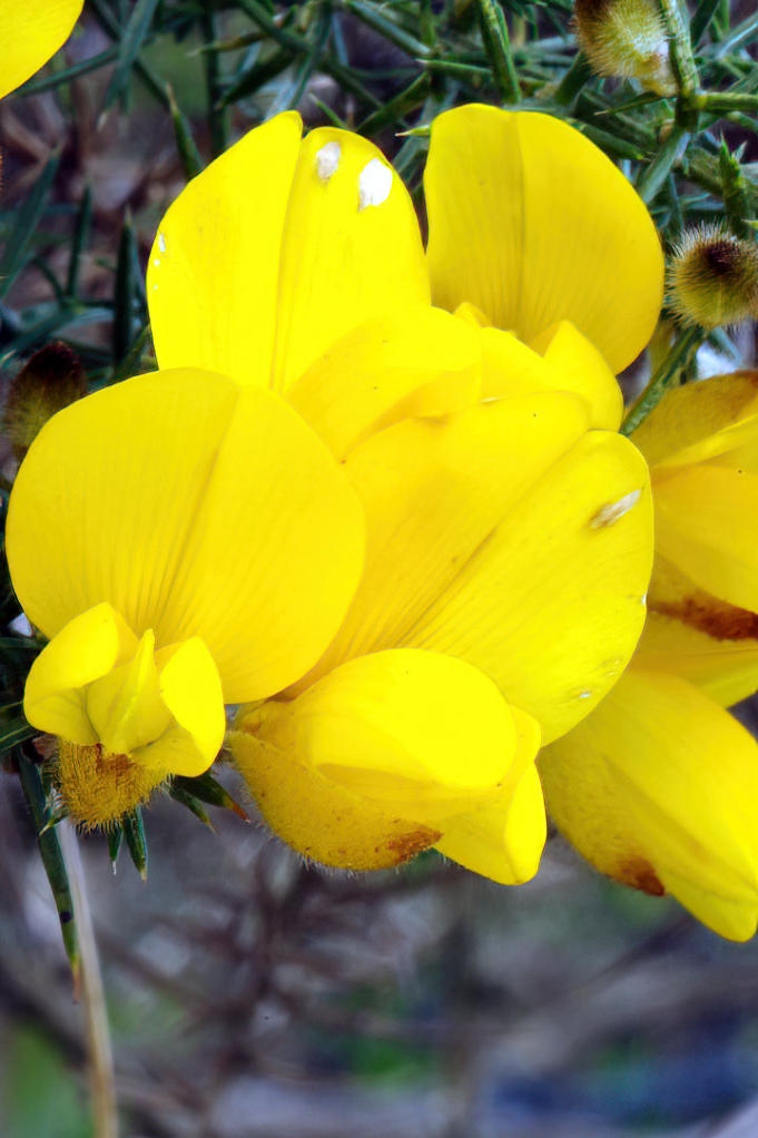
Gorse in flower at side of the Old Moor Road.
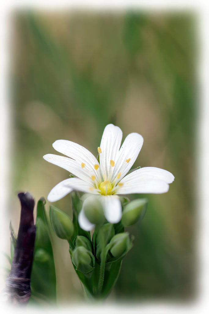
Greater Stichwort in flower at side of Russells Lane.
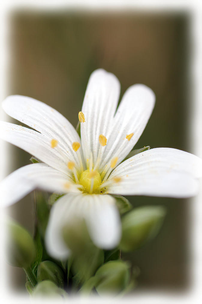
Greater Stichwort in flower at side of Russells Lane.
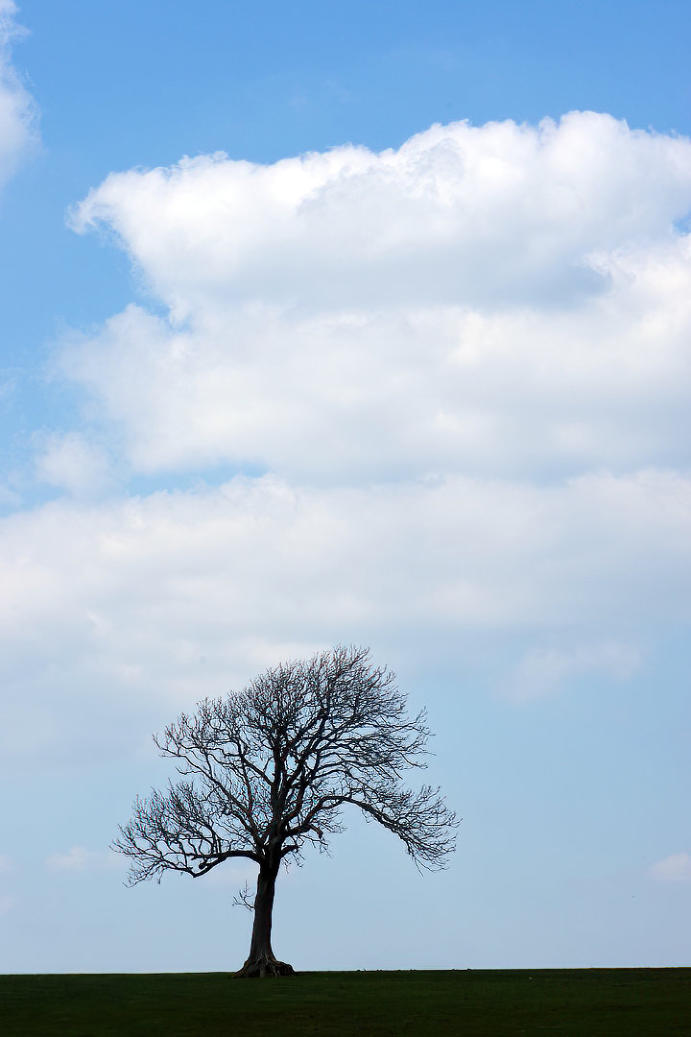
A tree on the skyline near Russells Lane.
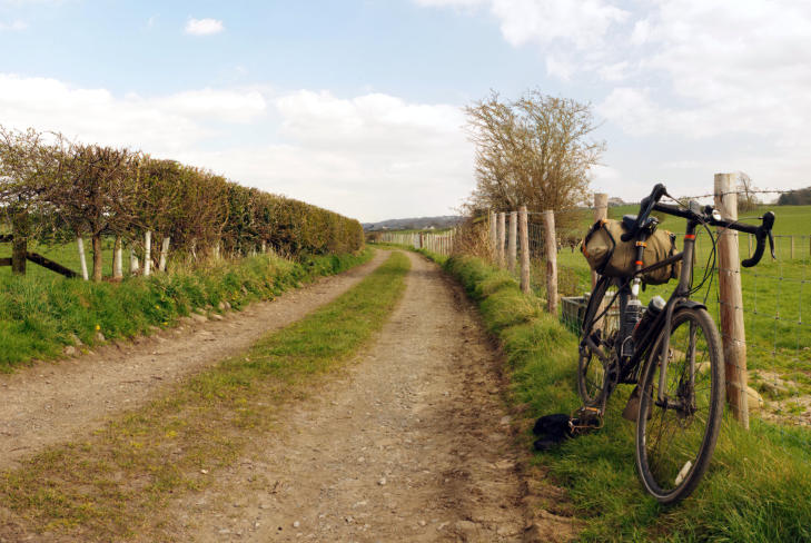
The view looking back along Back Lane near Wray.
Ride report by Simeon Orme
Well it was the first weekend of the year where we could visit a cafe for brew and cake on a bike ride, even if
we could only sit outside to eat the cake and drink the coffee, so its was event to celebrate even if it was day of
the funeral of Prince Philip, I was hoping that roads would be quite due to half UK nation watching the funeral
on TV.
Earlier on in the week, I notice on Facebook that Bridge House Farm Tearoom would be open at weekend and
that Saturday would be the better day for cycling in my small corner of England, so after crossing over the
River Lune via the Iron Bridge, I followed the cycle path from Halton Station up the Lune Valley to just pass
Bull Beck Bridge where I join the A683, its a shame that so many cyclist’s get put off from using this road due
to motor traffic may be time for our local politicians to think about extending the cycle path a bit further up the
Lune Valley, to encourage more use of bike and less use of motor vehicle for traveling about in the lower part
of the Lune Valley.
The thing about the section of A683 from Caton up to Hornby its travel through part of Forest of Bowland Area
Outstanding Natural Beauty and unfortunately its use short cut for folk coming off the M6 and heading into
Southern part of the Yorkshire Dales, its one reasons I enjoy cycling around the Northern part of the Forest of
Bowland because its so quite, once you get off the A683 and then the B6480 route into the Yorkshire Dales
National Park, you can argue that there is quite route following the route of Way of Roses up west side of the
the Lune Valley, then down through Hornby and then on to Wray but this route is not for less experience cyclist
who want easier route with less hills to climb to go exploring the quite lanes of Forest of Bowland ANOB.
It does not bother me has much, this A683 and B6480 route to Wray, has car drivers are starting to get message
about how treat cyclist’s on the road as more folk have started to use the bike in England’s three national lock
downs.
Any way it was nice enjoy cafe stop on ride, once I got to Wray.
After my cafe break, I spend some time taking photos before starting next stage of my ride which is more of
pushing the bike up the steep hill out of Wray to just pass Above Beck Cottage where I got back on bike and
soon heading along Cragg Road. It delightful road to travel along with ancient building of Cragg Hall look at
before the road becomes un fence, has you cycle towards Birks Farm, you are treated to find views looking
over the Hindburn valley and Wenningdale, with Ingleborough, one of the three peaks in the distance
background.
After cycling through Birks Farm, I stop to have bit of lunch before heading down Park House Lane to
Furnessford Bridge where stop to take photo of the bridge and the Wood Anemones in flower.
From there it was bit of climb up Furnessford Road, then I headed along Mewith Lane, before turning on to
Cross Road, then following the Old Moor Road and Russells Lane down to Mill Houses, then nice easy ride
down the Hindburn Valley to Wray.
I headed out of Wray, along Back Lane before following the B6480 down Wenningdale and then A683 and the
cycle path back down the Lune Valley to Halton Station.
You can click here to see the photos of the 25th April ride to Holmepark Fell or you can click here to download
the 21.99 mile route, or you can checkout the What’s New Page to see what’s new on the site.
Copyright 2001 to 2021 D. Simeon Orme
Copyright 2001 to 2021 D. Simeon Orme
Copyright 2001 to 2021 D. Simeon Orme
Copyright 2001 to 2021 D. Simeon Orme
Copyright 2001 to 2021 D. Simeon Orme