'Where's the Brew Stop? The off-road cycle touring website'.
About off- road cycle touring routes, cyclist’s cafes, off-road cycle touring, local group events and good photos.
For cyclists who love off-road leisure cycling in Northern England


2020 Photo Galleries


21st September 2020 ride along the Tow Scar Road and to Toby’s Arch (Page two)
- Page one - Ride report -
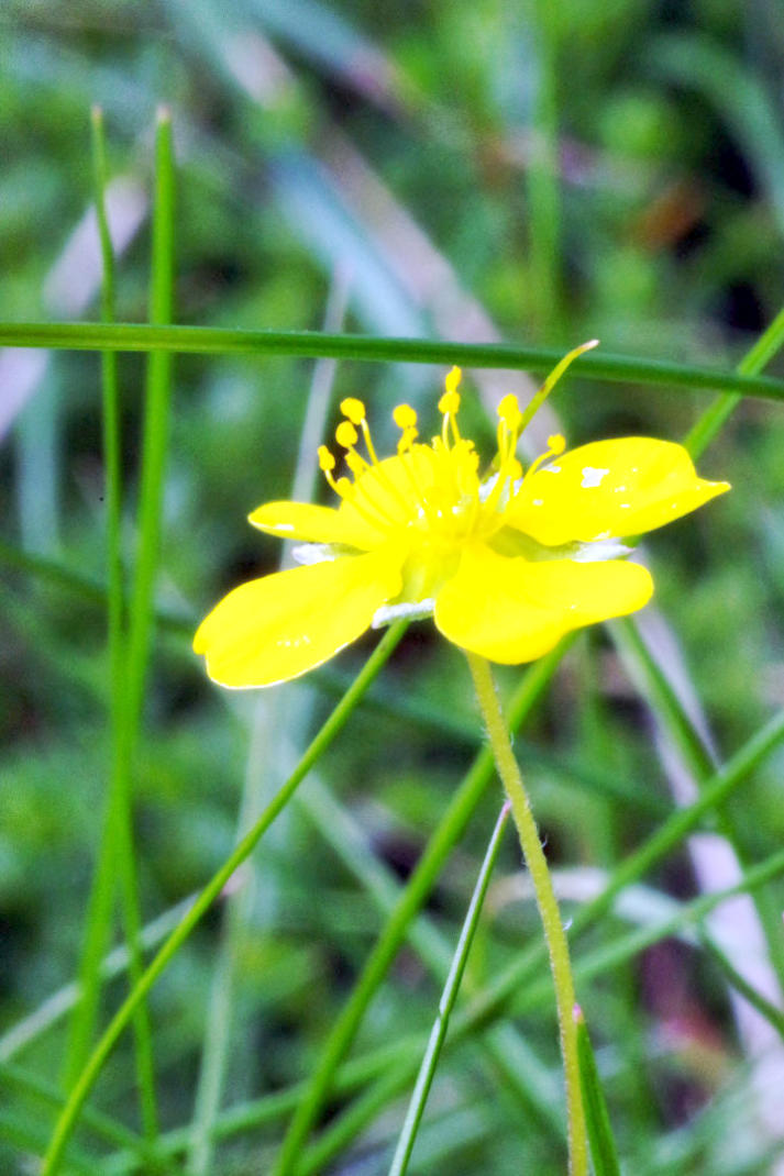
Not one of best close up photo but its of Creeping Cinquefoil at side of Masongill Fell Lane.
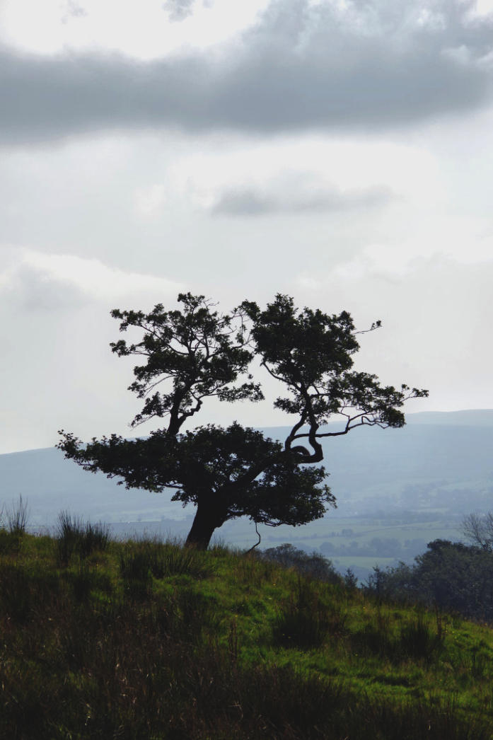
A tree in field at side of Masongill Fell Lane.
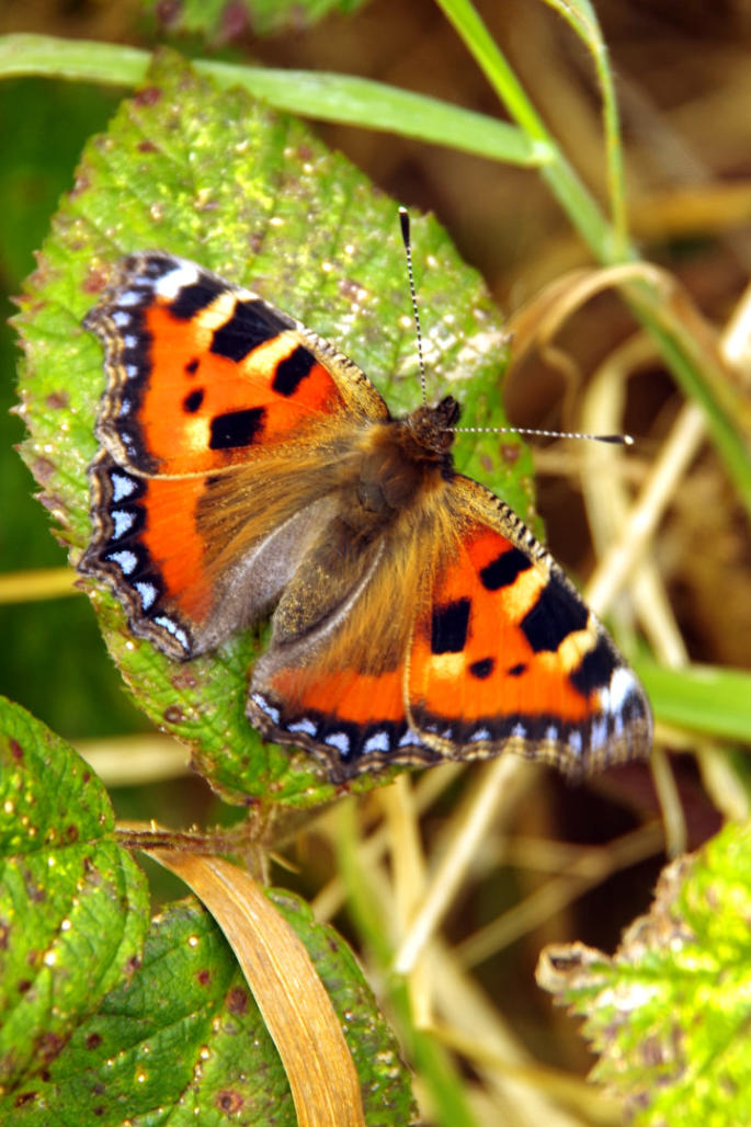
Small Tortoiseshell butterfly at side of Masongill Fell Lane
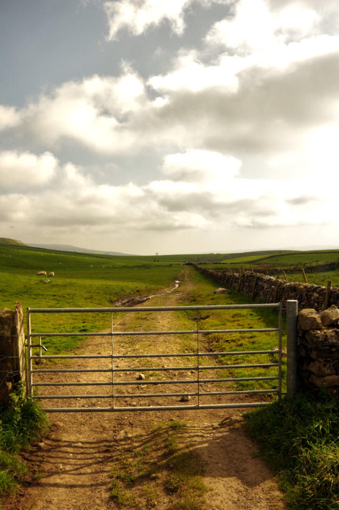
The view at start of Tow Scar Road.
The view from the first gate looking towards Westgate Lane
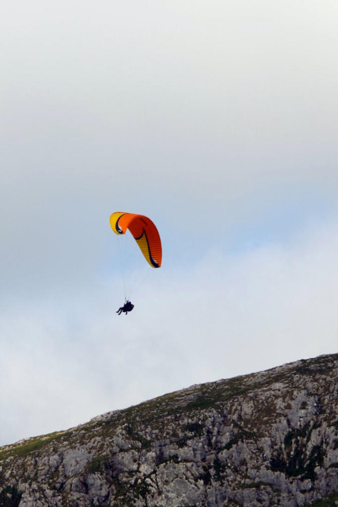
There few folk out paragliding off Tow Scar.
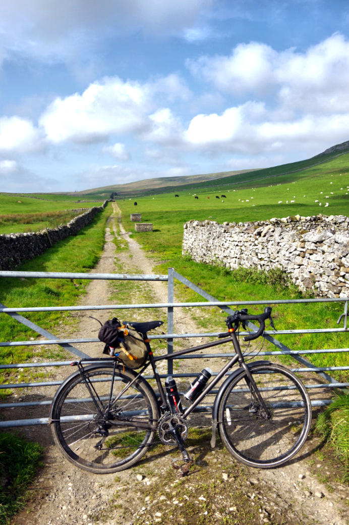
The view at the second gate looking back towards Masongill Fell Lane.
The view looking back along the Tow Scar Road from Westgate Lane.
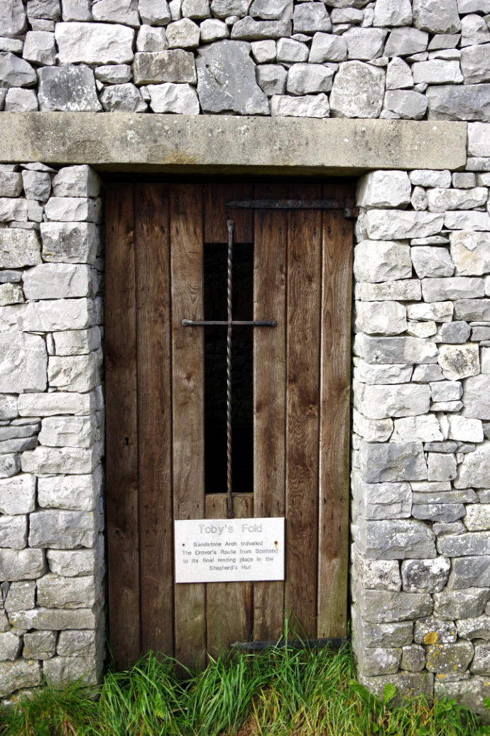
Toby’s Fold at side of Westgate Lane.
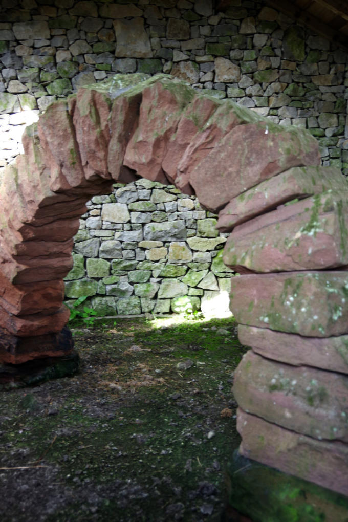
Toby’s Arch inside Toby’s Fold.
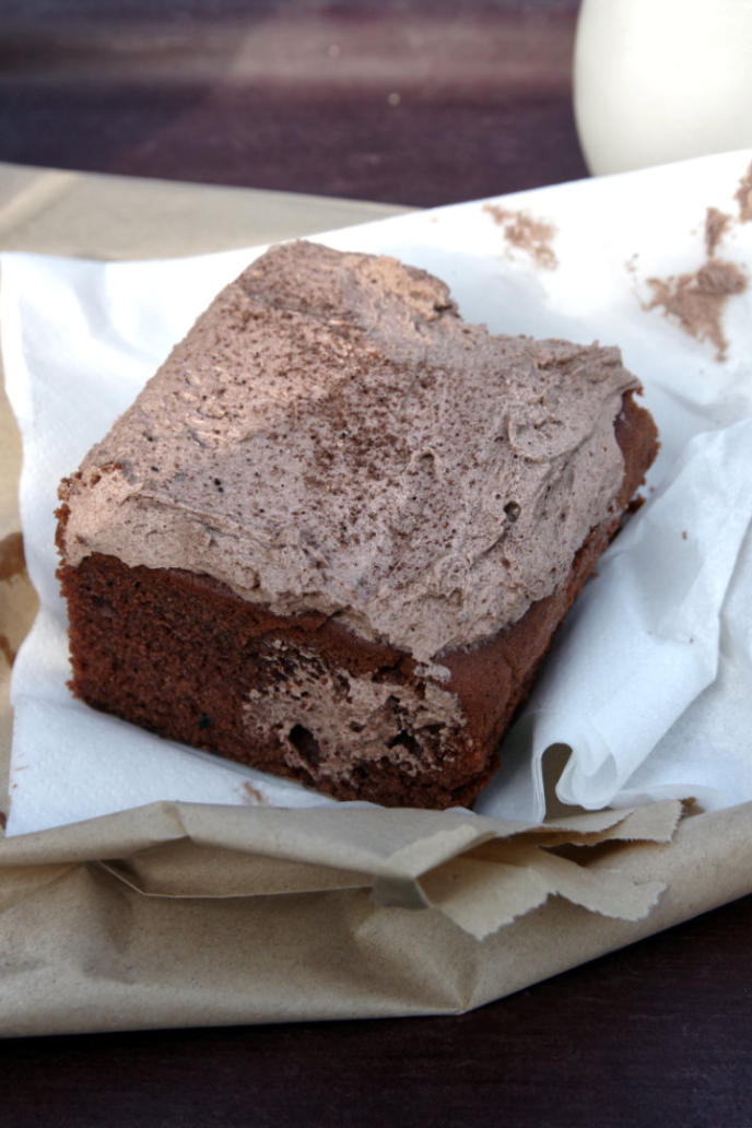
The cake photo at The Falls Cafe in Ingleton.
A view tarn near Goodenbergh Farm.
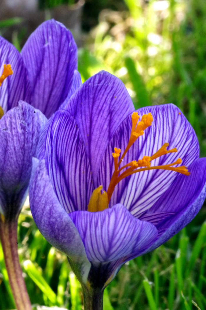
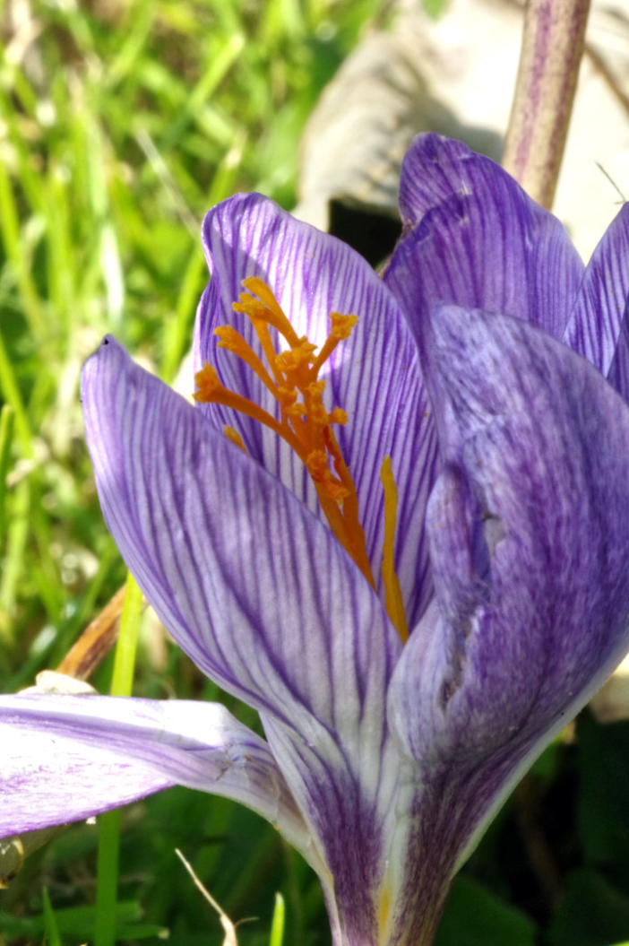
Autumn flowering crocus in Wennington
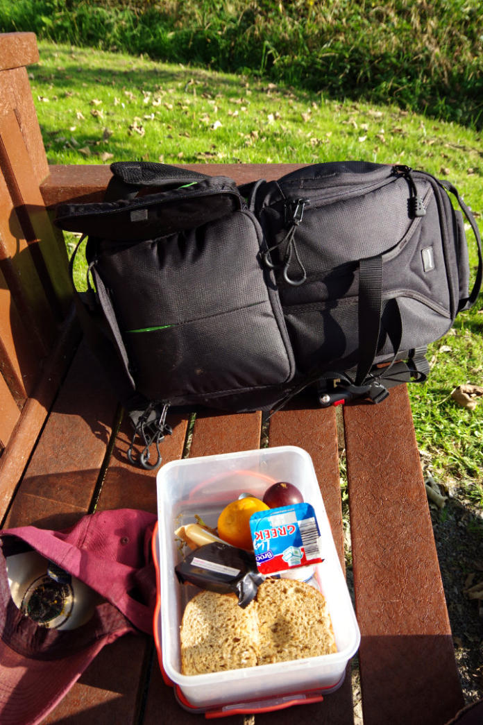
Afternoon eat up in Wennington.
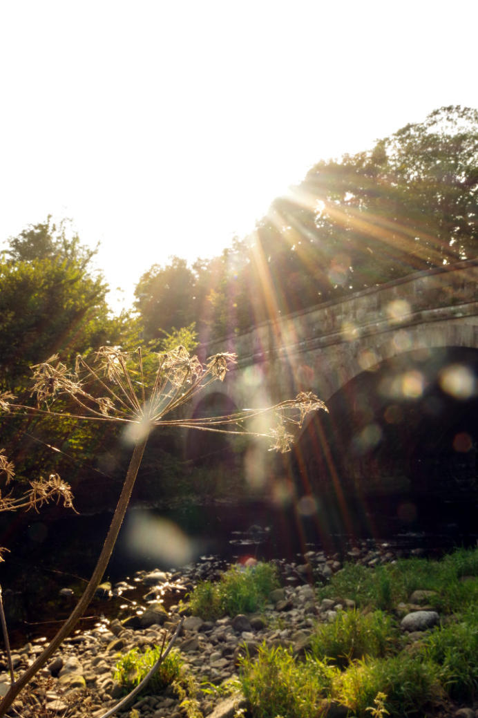
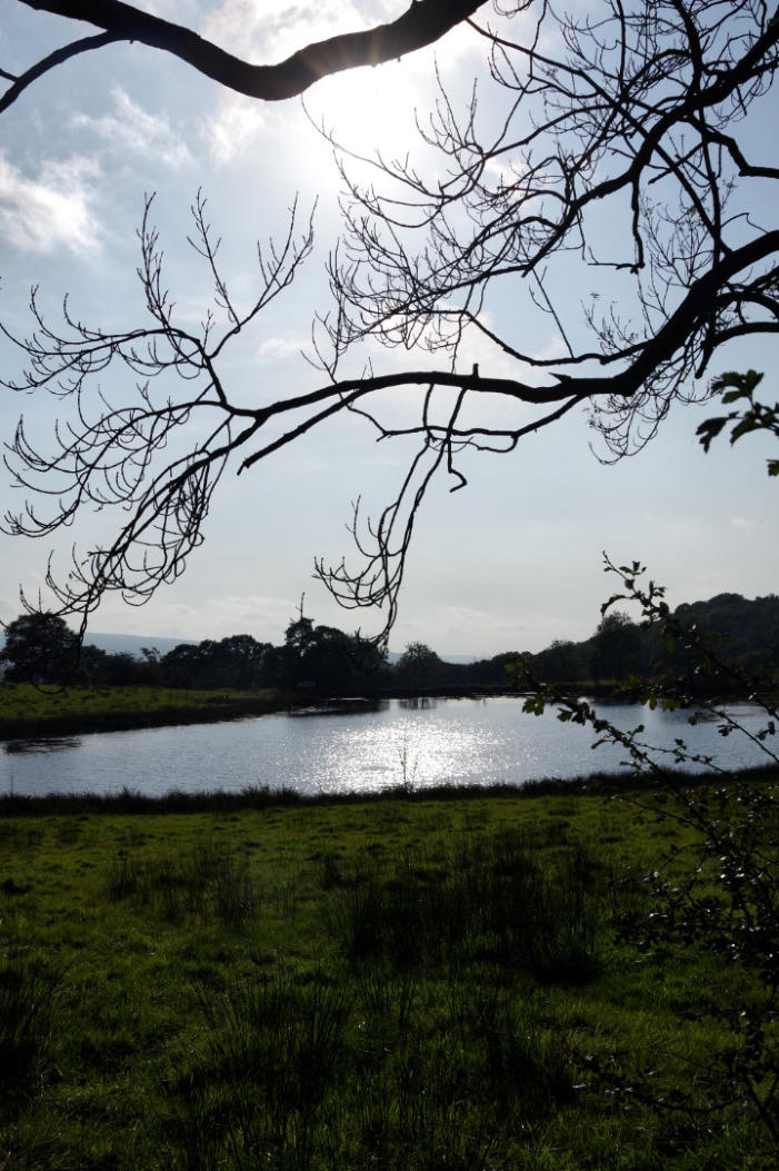
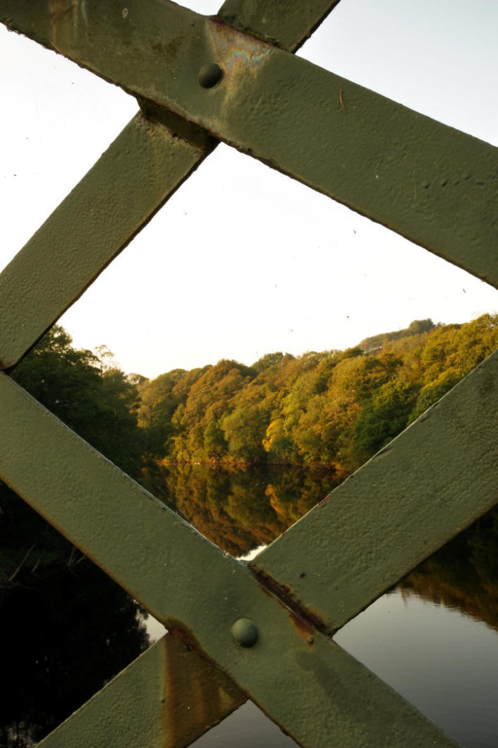
Late afternoon sunlight by the bridge over the River Wenning in Wennington.
Late afternoon sunlight on the River Lune near the Crook n’Lune.
Ride report by Simeon Orme
I had week off from work, so left the cycling to the Monday, its a bit strange having week off work and with so
much pressure from central government not to socialize with other folk in case we spread the virus to other folk,
so spend most of my week off reading and its now the Saturday that I am writing this ride report. I am on third
book and ploughing through the Legacy War by John Walker , I do enjoy reading science fiction on what could
happen in the future and in way over the last few months, science fiction is happening now maybe it wake up call
for everyone to change their habits but more folk seen to be staying at home in the South Lakes Area and going
exploring around their local area. Yes I know its nice part of British Isles to do it in and yes I know folk who live
in North Lancashire have more things in common with those in South Cumbria, if Lancaster was not capital of
Lancashire or the county town of Lancashire or that the Queen was not the Duke of Lancaster, this part of
England would be part of South Cumbria. It down where ever you go on ride at some point on the ride you will
see the coast and Morecambe Bay which is major feature of the landscape of the area, plus its daily feature of my
working life over last thirty years, when ever I look at the view across Morecambe Bay, I can’t get over how
lucky I am to live in this corner of England.
Any way getting back to the ride, I try different way of getting out of Halton which was interesting and alot
easier on the knees than going up Kirkby Lonsdale Road, my main aim for day ride was to do the Tow Scar Road
which a mile long track in the parish of Thornton-in-Lonsdale and also visit Toby’s Arch at Toby’s Fold.
So let those of you who interest at looking at the route, you can download and look at your leisure, I think
highlights for me were cycling through the hamlet of Swarthdale, the view looking down into the Lune Valley
from above Gressingham and how quite the A683 was on a Monday morning on the ride up to Melling.
Once got Melling, the ride got a bit more interesting, has followed the public byway from Melling to Old
Wennington which good gravel bike track of few miles which takes you out of Lancashire into North Yorkshire
to the hamlet of Old Wennington which sits on border between these to old counties of England.
From Old Wennington its a bit of up and down route to get to Burton-in-Lonsdale, once you in Burton-in-
Lonsdale, the main test for cyclist is climb into the village and would advise stopping at village shop over next
few months for brew, as they not setup to cater for cyclists and only allow 3 customers at time in the shop.
From Burton-in-Lonsdale there was some lanes to follow, to get me to Galegreen where I cross over the A65 and
followed the lane into Masongill, where stop for some lunch on bench by the old phone box.
After lunch, I headed up Masongill Fell Lane, stopping three times to take photos, the best one of these photos
was photo of the Small Tortoiseshell butterfly.
Once that I got to top of climb up Masongill Fell Lane, I turn on to the Tow Scar Road which take its name from
the fell that towers over the track which a few folk were paragliding around. On scale of things the Tow Scar
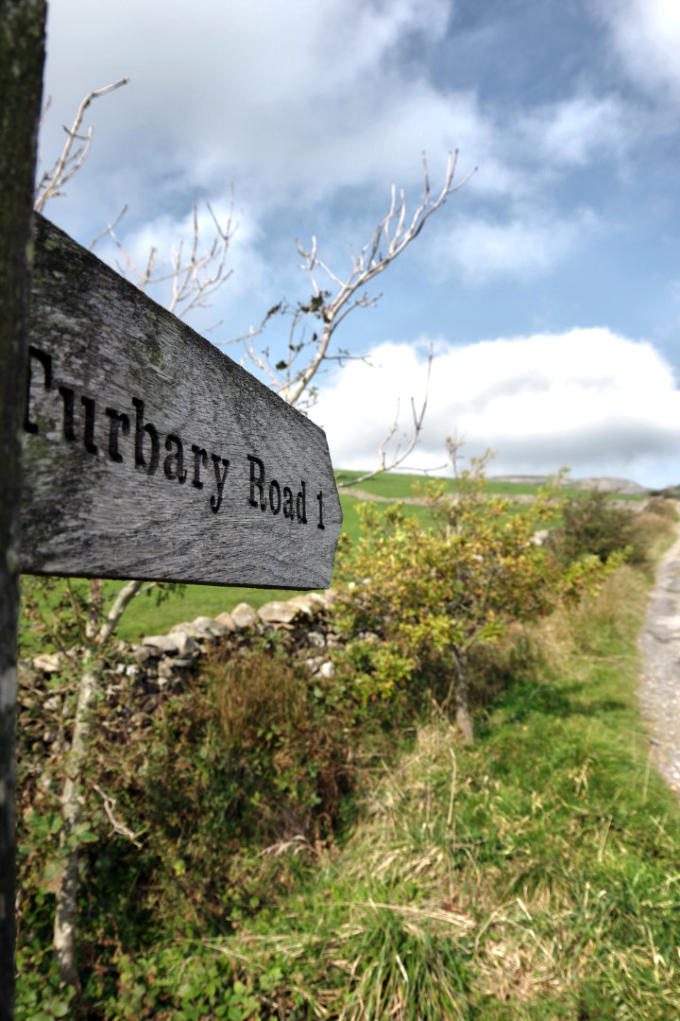
Road is only mile long and a lot of off-road cyclists combine this with ride along the Turbary Road which is best
done from Yordas Cave end where you follow the path from Yordas Cave up to Bullpot Bank to get on to Turbary
Road, the section from Bullpot Bank to the start Turbary Road is best done after a few weeks of dry weather, as
route takes over peat bog.
Anyway getting back to Tow Scar Road its fairly easy track ride along and the fours photos that took of track
sum its up, once I got on Westgate Lane, I headed up to Toby’s Fold to see Toby’s Arch which was part of
Cumbrian Sheepfold project, the artist Andy Goldsworth’s erected and dismantled the sandstone at 23 different
sheep folds between Lancashire and Dumfrisshire and Toby’s Fold is final rest place for the arch which as be
there seen 2002. You can find more information about Cumbrian Sheepfold project at this link.
I have done the ride to Toby’s Arch various ways over the years, so this time I headed back down Westgate Lane
and then followed Bank House Lane into Far Westhouse and the lanes through Thornton-in-Lonsdale and into
Ingleton where I stop for a brew at The Falls Cafe.
Over the period that I was enjoying my coffee and cake I was amaze at number of folk walking back to their cars
after completing the Ingleton Falls walk, maybe learning how use a map should be included in education, as there
a lot good walks you do around the Ingleton area with out the need for walk around Ingleton Falls.
From Ingleton, I recross the A65, then followed the lane through Moorgarth before turning on Dumb Tom’s Lane
which follows ridge of hills between the Greta Valley and Wenningdale before coming down into Lancashire near
Wennington where stop for afternoon eatup by the River Wenning.
Then it was fairly easy ride along the B6480, then the A683 and then the cycle path back to Halton.
You can click here download the 36.89 mile route or you can checkout the What’s New Page to see what’s new
on the site and you can also sign up for site’s free weekly newsletter.
Copyright 2001 to 2020 D. Simeon Orme
Copyright 2001 to 2020 D. Simeon Orme
Copyright 2001 to 2020 D. Simeon Orme
Copyright 2001 to 2020 D. Simeon Orme
Copyright 2001 to 2020 D. Simeon Orme
Copyright 2001 to 2020 D. Simeon Orme
Copyright 2001 to 2020 D. Simeon Orme
Copyright 2001 to 2020 D. Simeon Orme
Copyright 2001 to 2020 D. Simeon Orme
Copyright 2001 to 2020 D. Simeon Orme
Copyright 2001 to 2020 D. Simeon Orme
Copyright 2001 to 2020 D. Simeon Orme
Copyright 2001 to 2020 D. Simeon Orme
Copyright 2001 to 2020 D. Simeon Orme
Copyright 2001 to 2020 D. Simeon Orme
Copyright 2001 to 2020 D. Simeon Orme
Copyright 2001 to 2020 D. Simeon Orme