'Where's the Brew Stop? The off-road cycle touring website'.
About off- road cycle touring routes, cyclist’s cafes, off-road cycle touring, local group events and good photos.
For cyclists who love off-road leisure cycling in Northern England


2019 Photo Galleries


2nd November 2019 ride to Roeburndale (Page three)
- Page one - Page two - Route - Ride report -
The view from near Winder Farm looking back to Haylot Farm
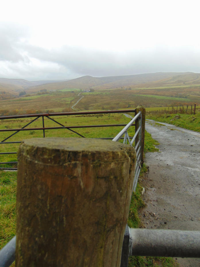
Looking back at highest point of the ride at 310 metres into Roeburndale.
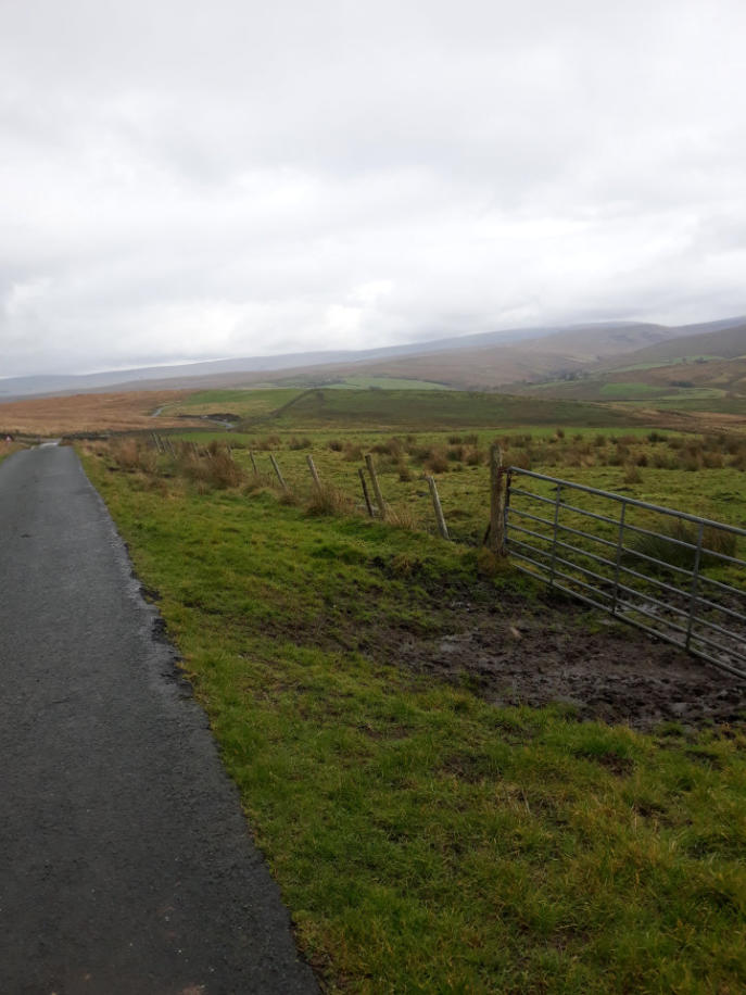
The view looking down Roeburndale Road towards in the distance background.
The view looking toward the Crook n’Lune.
Ride report by Simeon Orme
As this ride was advertise on the RSF website for several weeks before hand, I was disappointed with the turn
out of just me and my cameras, I think its was something to do Rugby World Cup Final with England playing
South Africa which found out later on in the day that England lost the match or was the bad weather forecast
that put you off! What ever excuse it was, you miss one most scenic rides that you do in North Lancashire.
With the starting point of the ride at Halton Station at 14 meters above sea level and the highest point being at
310 meters above sea level all in 17.9 mile route and 99 percent of the ride was in the Forest of Bowland Area
outstanding natural beauty which is National Park for those of you live outside the UK.
Has I was myself, I decided to easy route up the A683 and then followed the B6480 into Wray for coffee and
cake at Bridge House Farm Tearooms.
For those of you want a bit harder route to get Wray, I would recommend following Way of Roses signposts at
the Crook n’Lune which will scenic route and keep you off busy A683.
Once I finished my coffee and cake, I headed out of Wray using the Kitten Bridge to cross back over the River
Roeburn before first big climb of the day of about 100 meters up to Moor Lane.
The main sport of the day for the local farmers was shooting and not watching Rugby has saw two parties out
shooting.
After the first climb, you start to see some good views of Roeburndale before dropping down to Barkin Bridge
where re cross the River Roeburn again before climbing up to Low Salter where there nice small chapel which
worth stopping a few minutes to look at it, I did not take photo of the chapel due to rain shower which lasted
for several minutes and it was the only one on the ride.
After you pass through Low Salter, take the next right junction with Haylot clearly mark on the gate if you
miss this junction you be heading up the Salter Fell Road.
There another bit easy riding before re crossing over River Roeburn for last time, if you not super fit or not got
low gears I would advise you get off walk up next climb up to Haylot Farm as it a bit steep.
Once you made it up the climb to Haylot Farm its worth stopping to look at the view.
Do not go down next down hill bit super fast as there gate at bottom of the hill before another steep climb up
to Winder.
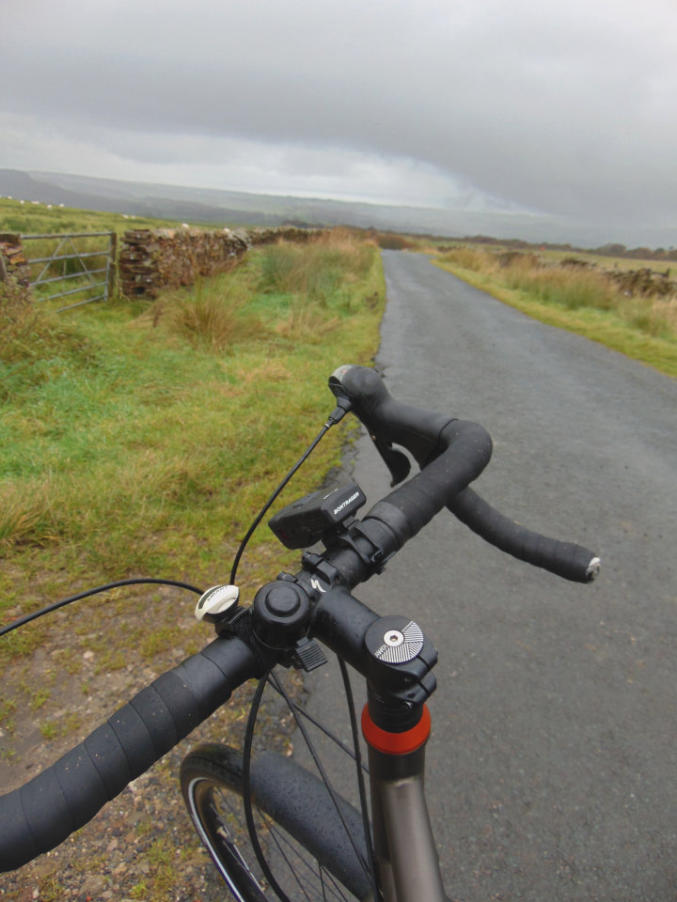
From Winder there bit more climbing to do along Roeburndale Road before highest point of the ride, then case
of not having to pedal for next few miles, do stop to look at the views as you see all the way down to the coast.
Once get down to Brookhouse, I then followed the road to Caton then the Lune Valley cycle path back to
Halton Station.
You can click here to see photos of the 10th November ride up the Hindburn Valley or you can click here to
download the 17.9 mile route or you can check out forthcoming events page. Also checkout the What’s New
Page to see what’s new on the site and you can also sign up for site’s free weekly newsletter.
Copyright 2001 to 2019 D. Simeon Orme
Copyright 2001 to 2019 D. Simeon Orme
Copyright 2001 to 2019 D. Simeon Orme
Copyright 2001 to 2019 D. Simeon Orme