'Where's the Brew Stop? The off-road cycle touring website'.
About off- road cycle touring routes, cyclist’s cafes, off-road cycle touring, local group events and good photos.
For cyclists who love off-road leisure cycling in Northern England


Cycle touring route guide


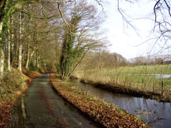
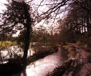
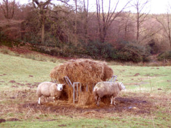
A 22.1 mile ride to Sedbergh
This is 22.1 mile cycle route, starting and finishing at free car park at Devil's Bridge near Kirkby Lonsdale
(Please note this route was done in 2008), there are two off-road sections, for café stops please check Cyclist's
café guide to the Yorkshire Dales. You can see more photos of the route and read ride report which this route is
based on at this link. The maps you need for this ride are Ordnance Survey Explorer Map OL2 Yorkshire Dales
Southern & Western Areas and Ordnance Survey Explorer Map OL19 Howgill Fells & Eden Valley. You can
click here to download the route in Tracklogs Format or click here to download the route in GPS Exchange
Format.
To download a route, click the link to gps route file you are interest in downloading,
then click ‘save link as’ to download gps route file to your computer.


- Cycle touring route guide home page
- Routes index page
- New routes page
- Cycle routes starting in Lancashire
- Cycle routes starting in Condor Green
- Cycle routes starting in Wray
- Cycle routes starting from Halton Station
- Cycle routes starting from Carnforth Railway Station
- Cycle routes starting from Leighton Moss RSPB Visitor Centre
- Cycle routes starting from Tewitfield
- Cycle routes starting from Clear Water Bistro & Bar
- Cycle routes starting from the Red Well Country Inn
- Cycle routes starting in North Yorkshire
- Cycle routes starting in Cumbria
- Cycle routes starting from Wath Sutton
- Cycle routes starting from Kirkby Lonsdale
- A 23.2 mile ride to Gawthrop in Dentdale.
- A 23 mile ride to Gawthrop in Dentdale.
- A 22.1 mile ride to Sedbergh
- A 24.7 mile ride to Sedbergh and Barbondale
- A 26.4 mile ride to Crook of Lune Bridge.
- A 26.7 mile ride to Crook of Lune Bridge
- A 22.7 mile ride to Gawthrop in Dentdale
- A 26.7 mile ride to Fox's Pulpit
- A 29.03 mile ride to Fox's Pulpit
- A 29.21 mile ride to Sedbergh and Dent
- Cycle routes starting from Shap
- Cycle routes starting from Chapel House Wood
- Cycle routes starting from Cartmel
- Cycle routes starting from Ashes Lane
- Cycle routes starting from Derby Arms near Witherslack
- Cycle routes starting from Yew Tree Barn in Low Newton
- Cycle routes starting from Sedbergh