'Where's the Brew Stop? The off-road cycle touring website'.
About off- road cycle touring routes, cyclist’s cafes, off-road cycle touring, local group events and good photos.
For cyclists who love off-road leisure cycling in Northern England


Cycle touring route guide


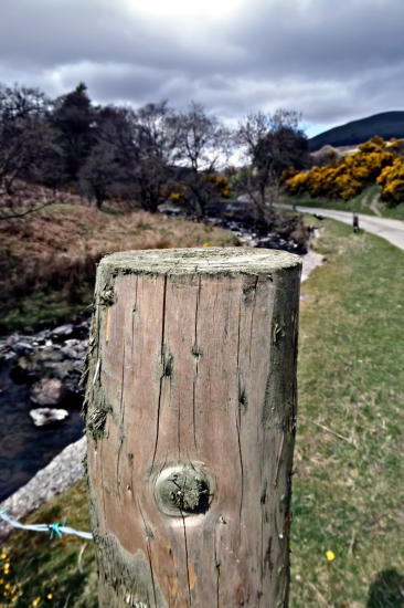
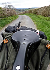
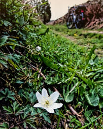
A 61.8 mile cycle ride to Bannisdale and Grayrigg
This is 61.8 mile cycle route, starting and finishing at Halton Station, with five off-road sections, with two
cafe stops at Farleton View Tearoom at Wath Sutton and at Italian Garden Restaurant and Cafe in Kirkby
Lonsdale. You can see more photos of the route and read the ride report which this route is based on at this
link. The maps you need on this ride are Ordnance Survey Explorer Map OL19 Howgill Fells and Upper
Eden Valley, Ordnance Survey Explorer Map OL41 Forest of Bowland & Ribblesdale, Ordnance Survey
Explorer Map OL7 The English Lakes South-eastern area and Ordnance Survey Explorer Map OL2
Yorkshire Dales Southern & Western Areas. You can click here to download the route in GPS Exchange
Format.
To download a route, click the link to gps route file you are interest in downloading,
then click ‘save link as’ to download gps route file to your computer.


- Cycle touring route guide home page
- Routes index page
- New routes page
- Cycle routes starting in Lancashire
- Cycle routes starting in Condor Green
- Cycle routes starting in Wray
- Cycle routes starting from Halton Station
- Index 2 of cycling routes starting from Halton Station
- A 21.68 mile ride to Melling
- A 46.91 mile ride to Gawthrop in Dentdale
- A 66.42 mile ride to Calton Fell and Malham Tarn
- A 37.4 mile ride Casterton
- A 24.2 mile ride to Wennington
- A 27.3 mile ride to Forton
- A 27.9 mile ride to Leighton Moss
- A 42.9 mile ride to Mill Side
- A 47.9 mile ride to Knott End
- A 44 mile ride to Wharfe
- A 27.6 mile ride to Kirkby Lonsdale
- A 43.1 mile ride to Brigsteer
- A 55.3 mile ride to Dunsop Bridge
- A 37.2 mile ride to Farleton
- A 40.4 mile ride to Bank Houses and Pilling
- A 46.1 mile ride up Barbondale and down Kingsdale
- A 49.1 mile ride to Chipping
- A 25.2 mile ride to Hawes Water
- A 21.4 mile ride to Wray, up Roeburndale and down Littledale
- A 53.2 mile ride to Slaidburn
- A 33.7 mile ride to Burton-in-Lonsdale
- A 47.3 mile ride to Gawthrop
- A 61.8 mile ride to Bannisdale and Grayrigg
- A 68.4 mile ride to Grange-over-sands and Winster
- A 69.5 mile ride to Waddington
- A 37.7 mile ride to Clapham
- A 56.2 mile ride to Lindale
- A 64 mile ride to Longsleddale and Kentmere
- A 65.5 mile ride to Borrowdale near Shap
- Index 2 of cycling routes starting from Halton Station
- Cycle routes starting from Carnforth Railway Station
- Cycle routes starting from Leighton Moss RSPB Visitor Centre
- Cycle routes starting from Tewitfield
- Cycle routes starting from Clear Water Bistro & Bar
- Cycle routes starting from the Red Well Country Inn
- Cycle routes starting in North Yorkshire
- Cycle routes starting in Cumbria
- Cycle routes starting from Wath Sutton
- Cycle routes starting from Kirkby Lonsdale
- Cycle routes starting from Shap
- Cycle routes starting from Chapel House Wood
- Cycle routes starting from Cartmel
- Cycle routes starting from Derby Arms near Witherslack
- Cycle rotes starting from Yew Tree Barn in Low Newton
- Cycle routes starting from Sedbergh