'Where's the Brew Stop? The off-road cycle touring website'.
About off- road cycle touring routes, cyclist’s cafes, off-road cycle touring, local group events and good photos.
For cyclists who love off-road leisure cycling in Northern England


2021 Photo Galleries


2nd June 2021 ride up Longsleddale and down the Kentmere Valley (Page three)
- Page one - Page two - Ride report -
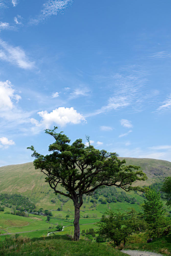
Another view of the Hawthorn at side of the public byway.
The view at the summit of the climb.
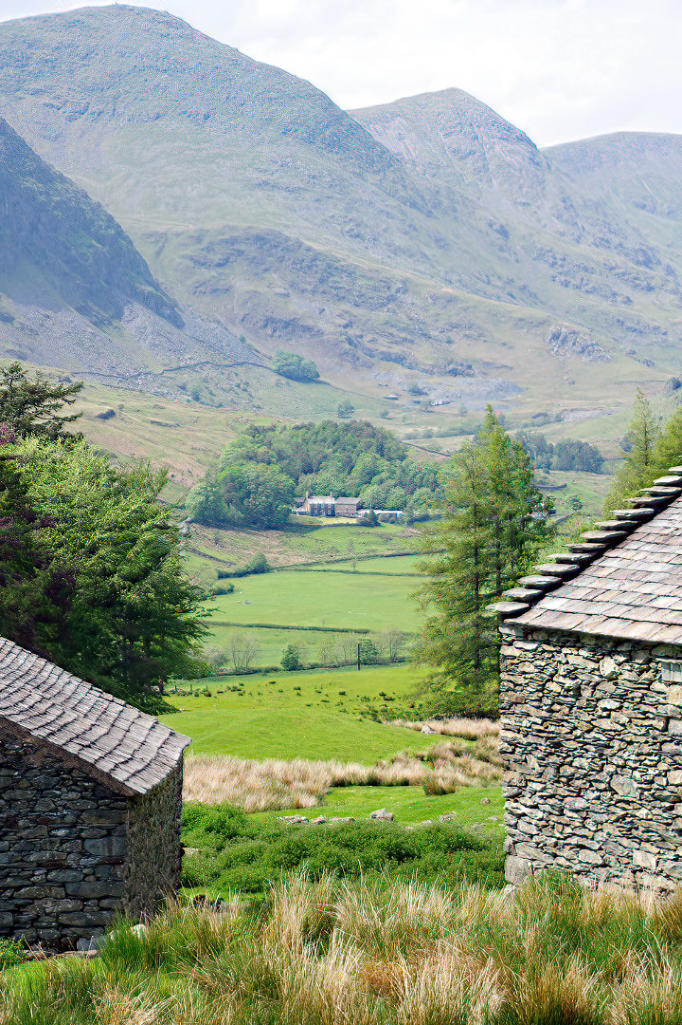
The view from Stile End looking across the Kentmere Valley.
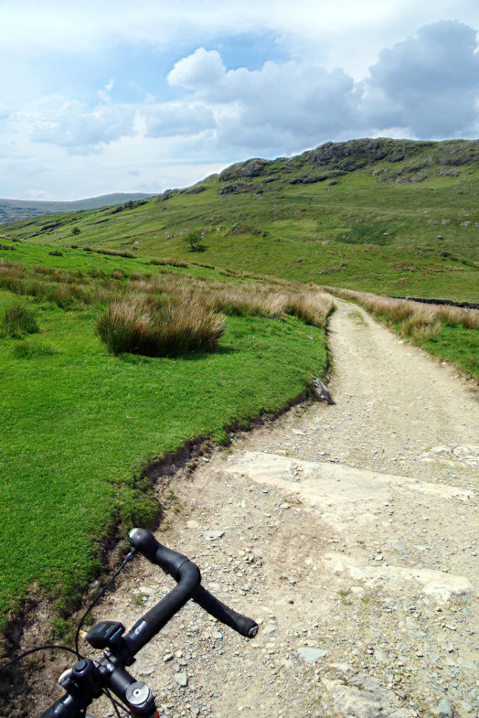
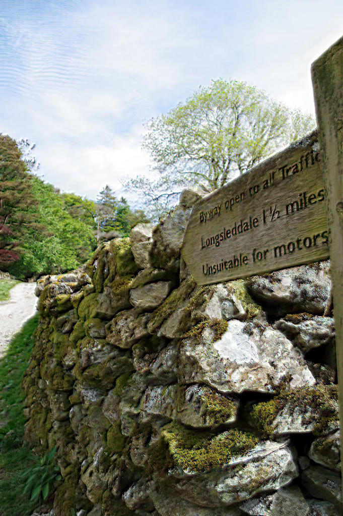
The view looking back up the public byway from Stile End.
The view looking back up the track at end of the public byway in the Kentmere Valley.
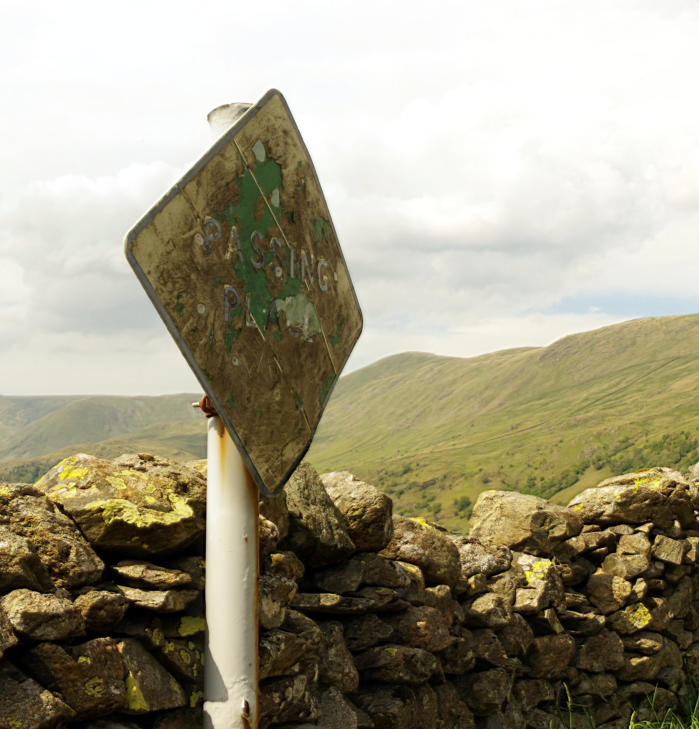
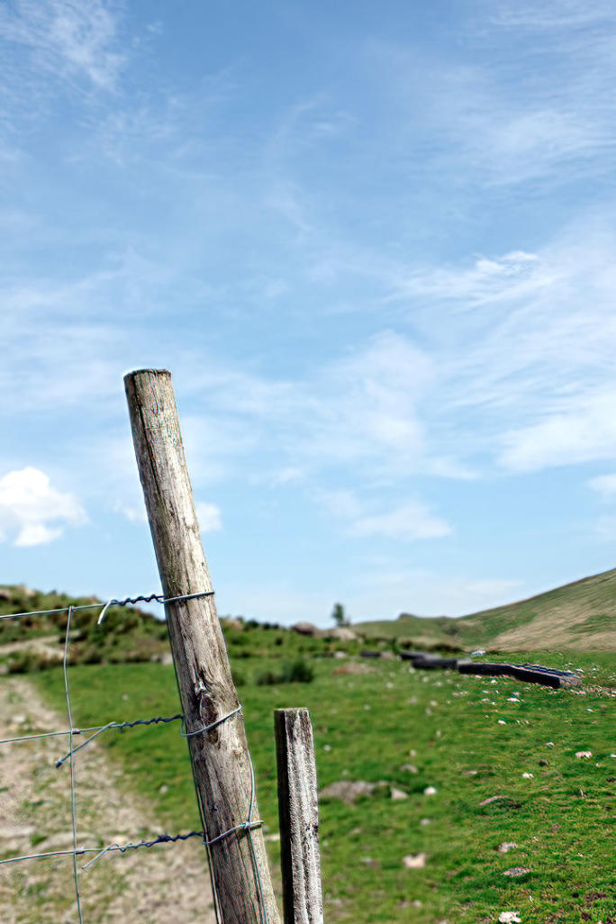
A view of a passing place sign on the High Lane in the Kentmere Valley.
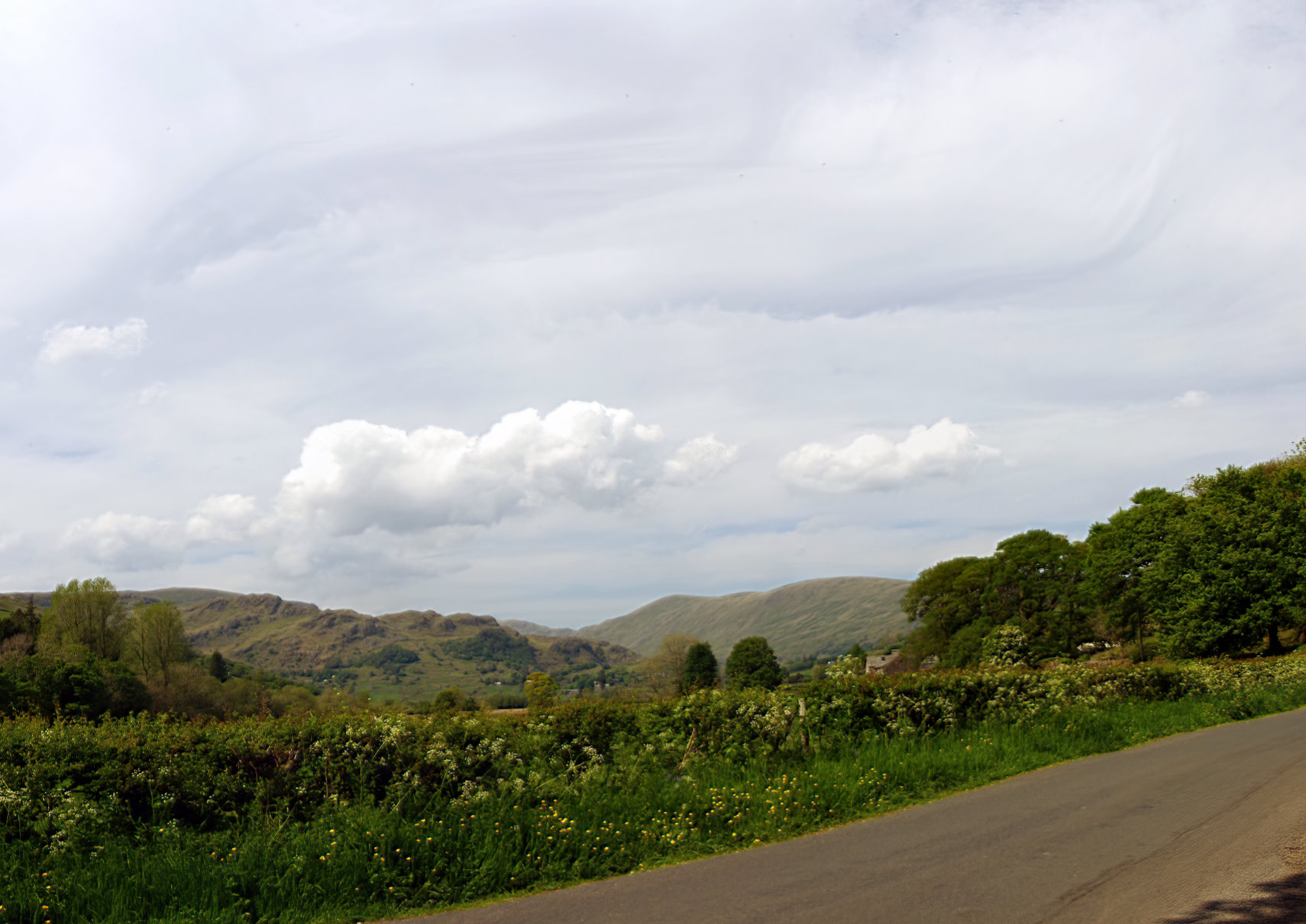
The view looking back up the Kentmere Valley taken from near Millriggs (Click the photo to see larger image
of the photo)
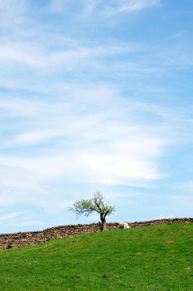
A small hawthorn on the skyline near Ashes Lane.
Ride report by Simeon Orme
It been over year seen done this ride which usually try to do at the beginning of the year and not on half
term school holidays.
It was around 35 minute drive in the car up to Ashes Lane from Halton, the first part of Ashes Lane is loop
off the A591 between Kendal and Staveley where you park your car for free all day, which is increasing
rare thing in the Lake District National Park. I have use it for many years to start rides from but you must
like doing off-road cycling, as Ashes Lane turns into hardcore track once get pass the campsite before
turning back into tarmac lane at Ashes which is small hamlet which give its name to the lane. So I would
ride your prize road bike along it.
So once got the bike unloaded from car, I headed along Ashes Lane, the bluebells were still in full bloom
in the woods at each side of the lane, has follow the lane across Rather Heath, once get pass the camping
club campsite which pack tents and caravans, the lane turns into hard core track which is public byway and
a lot of work as been done on the track in last 18 months, has rode just about all of it, there some good
views of the Kentmere Valley as you follow the track across Ashes Coppice. Once get to hamlet of Ashes
the lane turns into tarmac again and there a bit of climbing to do get on to Crook Road. Then its a fairly
easy ride along the Crook Road into Staveley.
Once you get into Staveley, you may want to do window shopping at Wheelbase which is cycle superstore,
or one of three tearooms or cafes in Staveley which may be good ideal if travel along way, me being a bit
of traditionalist I headed for Wilf’s Cafe in Staveley Mill Yard which had plenty of outdoor seating.
After my brew stop, I headed out of Staveley, crossing over the River Kent via Barley Bridge and then
followed the lane down the east side of the Kent Valley towards Burnside, it is a bit of up and down lane
with woods on each side of the lane and at this time year there was still Wild Garlic and Bluebell still
flowering.
After about good mile or so, I started the climb up Potter Fell Road which for me was case of pushing my
bike up it, for those of you on mountain bikes may want try the bridleway from Hundhowe around to
Mirefoot which bring you out on to Potter Fell Road.
There some good views of Kent Valley, has climb up Potter Fell Road but I think highlight for me was the
small community library at side of lane near summit of the climb.
Something to beware of has you follow Potter Fell Road down to the Garnett Bridge Road, they can quite
a few cars park up at the side lane, this down to fell walkers leaving their cars to walk up Potter Fell.
Once I was on the Garnett Bridge Road it was fairly easy ride into Garnett Bridge, yes there bit more
climbing to do but I am quite happy to get off the bike and push it up the hill if the climbing gets to hard
and end of the day, the reason I go cycling is to enjoy ride and not try kill myself.
After crossing over the River Sprint in Garnett Bridge, I followed the tarmac lane up the East side of
Longsleddale toward Sadgill. I was surprise at the number of motor vehicles going up and down the valley
but I think this was down half term holidays and few folk that can read a map and know that you park a car
at Sadgill and go exploring the Kentmere Horse Shoe on foot.
Anyway other times of year when the schools are not on holiday and foreign travel is allow, Longsleddale
is one of those quite places in the Lake District National Park where do not see that many folk all day and
if see some one you stop and have chat with them.
I think one of highlights of Longsleddale other than fantastic landscape as you slowly head up the valley
towards Sadgill, is free public toilets next to St Mary Church which maintain my local community of
Longsleddale.
If you interest in learning more about Longsleddale which home Postman Pat there a useful community
website at this link.
When I doing this ride by myself, I usually try stop for lunch at bench by side road near High Barn which
as fantastic view looking up the valley, if there a group of you there picnic table by the public toilet near St
Mary Church worth stop at.
Once you get to Sadgill the tarmac runs out, for the cyclist or the horse rider or a walker the various way
heading out of the dale but my favourite way is following the public byway from Sadgill to Stile End, if
you not on mountain bike it take around hour to do, I would recommend doing it from Sadgill side, has
you ride more of the track, it is a bit pushing of the bike unless you got low gears on your bike until get
pass the hawthorn tree growing at side of track but well worth it for views looking back down into
Longsleddale.
Once you get pass the Hawthorn tree, depending how low your gears are and how wide your tyres are, you
should be able ride most of the track over to Stile End.
Do stop few times to look at the views and if into photography like me, you may want to take photo of the
barns at Stile End.
Once you get to end of the track in the Kentmere there plenty of options to extend the ride to other tracks
but I just like to follow the tarmac down the Kentmere Valley, the views are outstanding, if there group of
you may want visit tearoom or cafe in Staveley, if I am myself like on today ride, I just head through
Staveley and follow the Crook Road and then Ashes Lane back to car park at end of Ashes Lane.
The various ways of doing this route in the Cycle touring route guide at this link depending which route
you chose it can be between 17 to 21 miles long.
You can click here to see the photos of the 6th June ride to Hawes Water or you can checkout the What’s
New Page to see what’s new on the site.
Copyright 2001 to 2021 D. Simeon Orme
Copyright 2001 to 2021 D. Simeon Orme
Copyright 2001 to 2021 D. Simeon Orme
Copyright 2001 to 2021 D. Simeon Orme
Copyright 2001 to 2021 D. Simeon Orme
Copyright 2001 to 2021 D. Simeon Orme
Copyright 2001 to 2021 D. Simeon Orme
Copyright 2001 to 2021 D. Simeon Orme