'Where's the Brew Stop? The off-road cycle touring website'.
About off- road cycle touring routes, cyclist’s cafes, off-road cycle touring, local group events and good photos.
For cyclists who love off-road leisure cycling in Northern England


2020 Photo Galleries


26th July 2020 ride up Roeburndale and down Littledale (Page two)
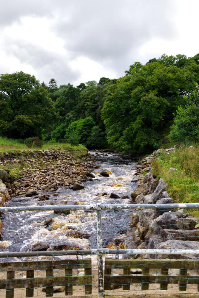
The view from bridge looking up the River Roeburn
The view looking across the bridge over River Roeburn.
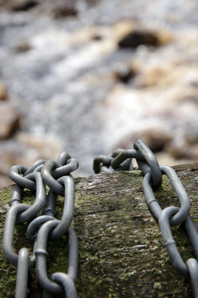
A closeup of chain on the bridge.
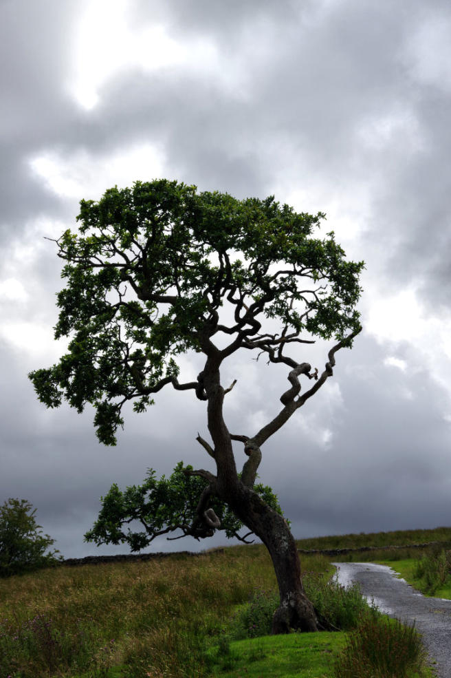
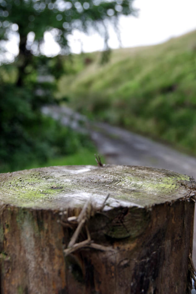
The Oak at side of lane on the climb up to Haylot Farm.
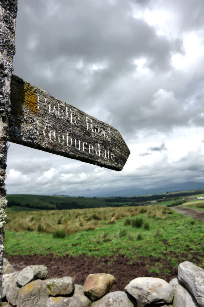
Road sign at Haylot Farm and view looking back down Roeburndale.
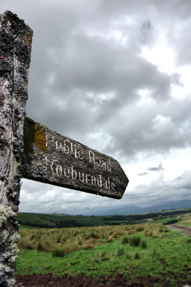
Another view of the road sign.
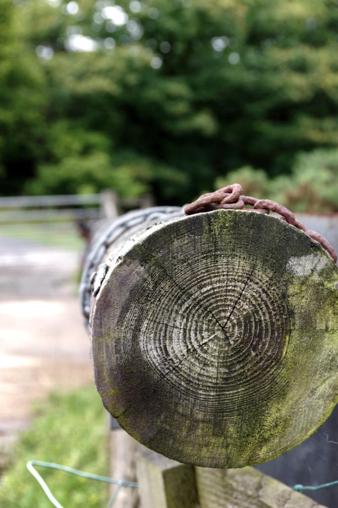
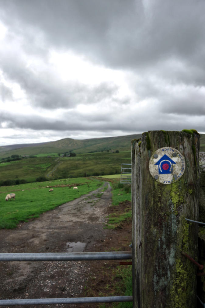
A view gate post, at the gate before the climb up to Winder.
The view from Winder look back towards Haylot Farm.
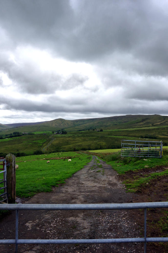
Another view from Winder looking back towards Haylot Farm.
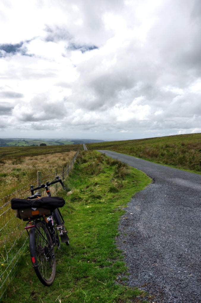
The view looking down Roeburndale Road.
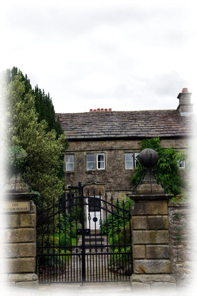
A view of The Manor House at Halton.
Ride report by Simeon Orme
Yes I know I fully intended have ride up to Lupton but it was spur of the moment decision has I was heading
out of Beech Road in Halton to turn right instead of left, has thought it would good idea to head towards Wray
from brew at the Bridge House Farm Tearooms. The reasoning for this decision that it had been raining first
thing in the morning and had been waiting move on before adventuring out, I may be getting soft in my old age,
but I hate getting soakings in my leisure time, its something do with we getting to may soakings at work where
we no option to grim and bear it, its maybe down to global warming but officially the school holidays in
England and now start of monsoon reason where it rain just about every other day until September when kids
go back to School.
Any way follow the usual route up to Wray, I must say where the Lune Valley Cycle Path joins the A683, its
getting point where cyclists new to cycling turn around head back down cycle path, it may be something to do
with amount of traffic on the A683 but its shame to see happen and there need to safer route up the Lune Valley
to encourage more folk to leave their car at home on Sunday or Saturday and explore the local area on two
wheels.
A lot of us locals to tend to forget that the area between Caton and Hornby is in National Park call the Forest of
Bowland and those cyclists who turn back at end cycle path do miss out on some outstanding scenery on both
sides of A683 and then the B6480, its shame not enough of us in lockdown have not learn to leave the car at
home and spoil it for rest us who adventure out on two wheels or two feet.
Once I turn off the B6480 in Wray, the noise of the traffic die away but it was shame that there were a few rain
showers about, as did send a few folk enjoying their morning brew outside tearoom run for cover, so I had my
coffee and cake inside the tearoom.
Once enjoy my coffee and cake, I decide to take hard way home up Roeburndale and down Littledale, the
highest point of the ride is at 313m on Roeburndale Road where you can all way to coast. To get to that point
there about 400m of climbing to do! Once climb out of Wray and turn on to Moor Lane its like go back in time
and know real reason for motorist to use this road unless they can read a map and mind opening and closing
several gates which seem most of the Sunday drivers off using this route over to Littledale.
A lot of you reading this will know Moor Lane depending on which way you rode across the Salter Fell Track,
as that hard bit over Whit Moor which you have to cross before starting ride along the Salter Fell Track if
heading off to Slainburn or if heading towards Wray, the last hard bit before you get a brew in Wray.
So once climb over Whit Moor and drop back down into Roeburndale and did a bit more climbing just pass
Lower Salter, I turn off the route up to beginning of the Salter Fell Track, to follow the public byway up to
Haylot Farm, it does not advertise fact that it public byway on gate at start of route over Littledale, it just as
sign say Haylot Farm,
I did stop for some thing to eat, after recrossing over River Roeburn before start of the climb up to Haylot
Farm. The highlight for me on this climb or for me its case pushing my the climb is the small Oak tree at side
of the road it been there for many years and when get up close to it wonder how its survive this many years and
stories it could tell if only it could talk you.
Once you get to Haylot Farm its worth stopping to look at view down Roeburndale before getting on your bike
for short ride down to Bladder Stone Beck before final push up to Winder and once pass cattle grid about
quarter mile after Winder, there not much pedaling to do until get to Brookhouse, then its case picking which
way want get back on cycle path, I headed through Caton and then followed cycle path back to Halton Station.
There various ways of doing this route, I would recommend following the route of Way of Rose up the Lune
Valley and just after Butt Yeats follow Back Lane into Wray. For those of you want a bit off-road adventure
there is permitted bridleway from Pike Gill Wood to Alcocks Farm which show on OS Map as footpath, then
there another permitted bridleway going across Roeburndale via Middlewood Farm which show on OS map as
footpath which follow down in valley bottom where there apple orchard, I would recommend use footbridge to
cross River Roeburn, as permitted bridleway crosses River Roeburn via ford. Once you cross over the River
Roeburn, the pernitted bridleway follows Farm Road through Middlewood Farm up to Moor Lane. There many
ways of extending this ride to make enjoyable day ride and hope you enjoy reading this report and looking at
the photos of ride which taken 18mm to 135mm lens. Do add comment to comment box belong, you can log in
using your Facebook account or other social media accounts it does help get the website notice if you leave
comment on website and not on social media.
You can click here to see the photos of 2nd August ride to Barbon or you can click here to download the 17.9
mile route or you can checkout the What’s New Page to see what’s new on the site and you can also sign up for
site’s free weekly newsletter.
Copyright 2001 to 2020 D. Simeon Orme
Copyright 2001 to 2020 D. Simeon Orme
Copyright 2001 to 2020 D. Simeon Orme
Copyright 2001 to 2020 D. Simeon Orme
Copyright 2001 to 2020 D. Simeon Orme
Copyright 2001 to 2020 D. Simeon Orme
Copyright 2001 to 2020 D. Simeon Orme
Copyright 2001 to 2020 D. Simeon Orme
Copyright 2001 to 2020 D. Simeon Orme
Copyright 2001 to 2020 D. Simeon Orme
Copyright 2001 to 2020 D. Simeon Orme