
A 39.45 mile ride to Cam Fell
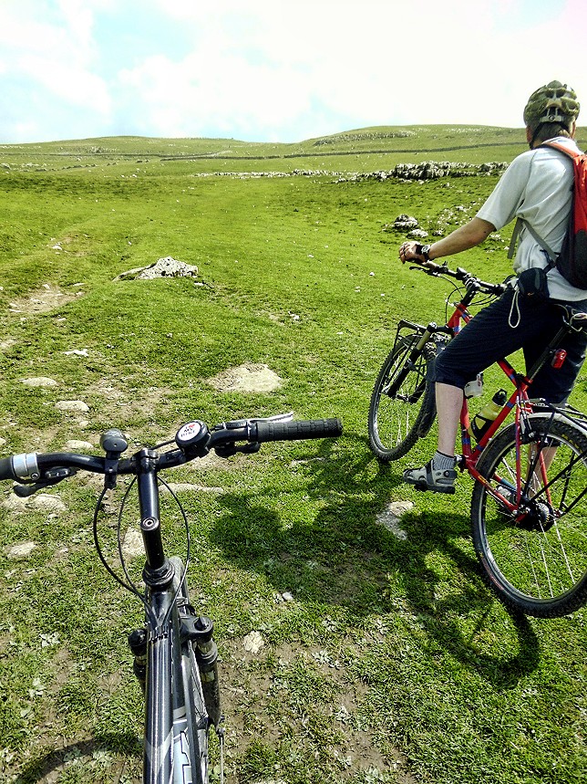
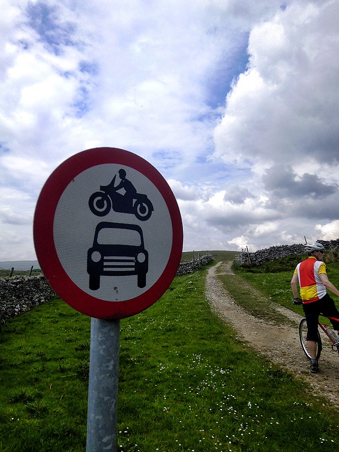
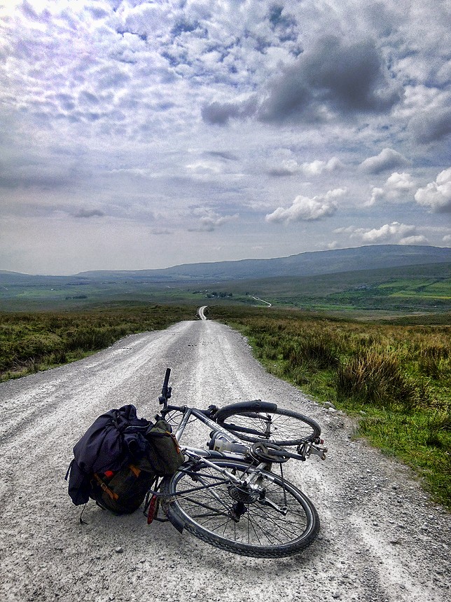
This is 39.45 mile off-road cycle route, starting and finishing in Wray, there are four off-road sections about third of the ride (the route is little a bit out on the off-road section across the Pennine Bridleway Bridge due to the bridleway not being on 0S maps 2014 when this route was done), there are two café stops at the Bridge House Farm Tearooms in Wray and The Falls Cafe and Bistro in Ingleton. You can see more photos of the route and read ride report which this route is based on at this link. The maps you need on this ride is Ordnance Survey Explorer Map OL 41 Forest of Bowland & Ribblesdale and Ordnance Survey Explorer Map OL2 Yorkshire Dales Southern & Western Areas. You click here to download the route in GPS Exchange Format.

To download a route, click the link to gps route file you are interest in downloading, then click ‘save link as’ to download gps route file to your computer

'Where's the Brew Stop? The off-road cycle touring website'.
About off- road cycle touring routes, cyclist’s cafes, off-road cycle touring, local group events and good photos.
For cyclists who love off-road leisure cycling in Northern England
About off- road cycle touring routes, cyclist’s cafes, off-road cycle touring, local group events and good photos.
For cyclists who love off-road leisure cycling in Northern England
We use cookies to ensure that we give you best possible experience on our website. By continuing to use the website we assume that you agree to our use of cookies and you read our site privacy policy at this link.
The off-road cycle touring route guide