
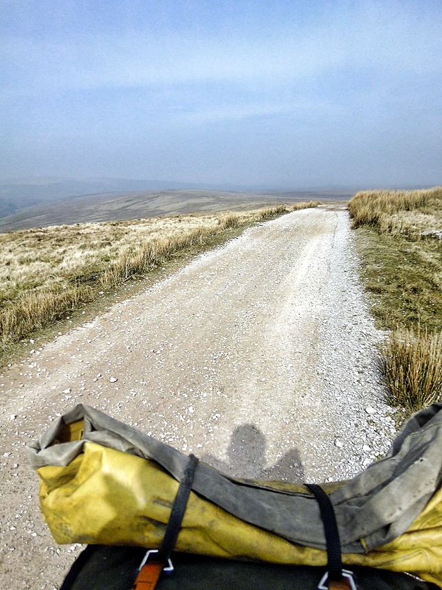
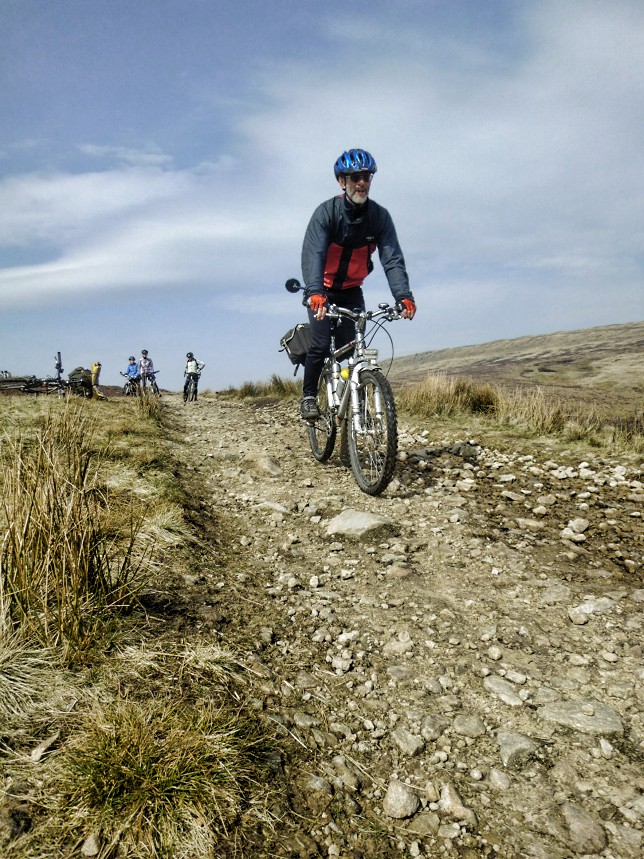
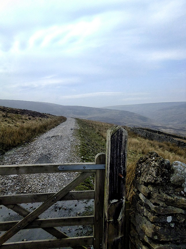
A 29.07 cycle ride along the Salter Fell Track
This is 29.07 mile cycle route, starting and finishing at Wray, there are two off-road sections (allow your self about two to three hours for section along the Salter Fell Track and the section from Botton Head to start public byway over Botton Bridge on newer OS maps is mark as public footpath and older OS maps as public byway so please push bike along this section. Also on 2019 OS map there is bridleway marked on the map going from Botton Head to Swams which may offer a better route, if do go this way at Swams follow the footpath down to road as its driveway to farm.) there are two café stops at Bridge House Farm Tearoom in Wray (Its free parking at the tearoom but please go brew before out on your ride) and Riverbank Tearooms in Slaidburn. ). You can see more photos of the route and read ride report which this route is based on at this link. The map you need on this ride is Ordnance Survey Explorer Map OL 41 Forest of Bowland & Ribblesdale. You click here to download the route in GPS Exchange Format.

To download a route, click the link to gps route file you are interest in downloading, then click ‘save link as’ to download gps route file to your computer

'Where's the Brew Stop? The off-road cycle touring website'.
About off- road cycle touring routes, cyclist’s cafes, off-road cycle touring, local group events and good photos.
For cyclists who love off-road leisure cycling in Northern England
About off- road cycle touring routes, cyclist’s cafes, off-road cycle touring, local group events and good photos.
For cyclists who love off-road leisure cycling in Northern England
We use cookies to ensure that we give you best possible experience on our website. By continuing to use the website we assume that you agree to our use of cookies and you read our site privacy policy at this link.
The off-road cycle touring route guide