
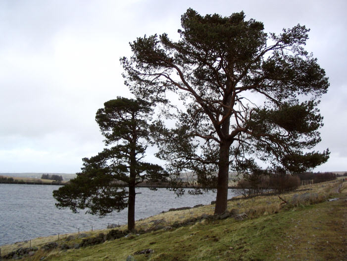
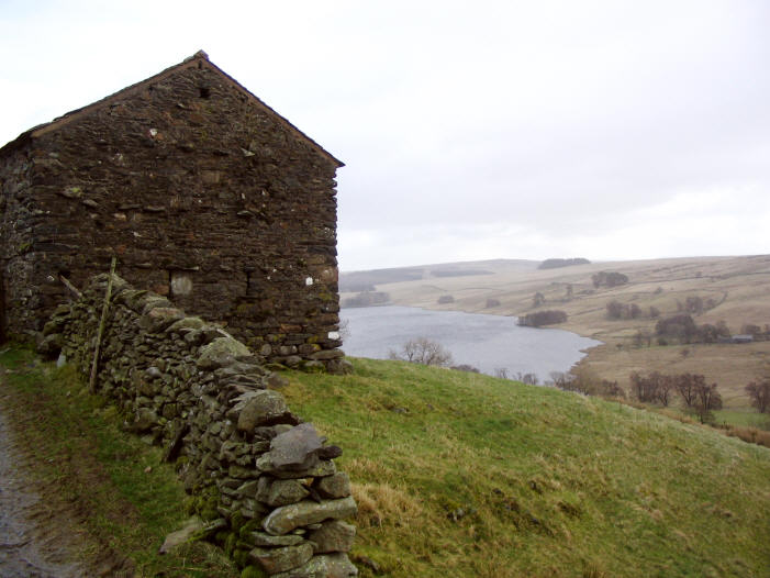
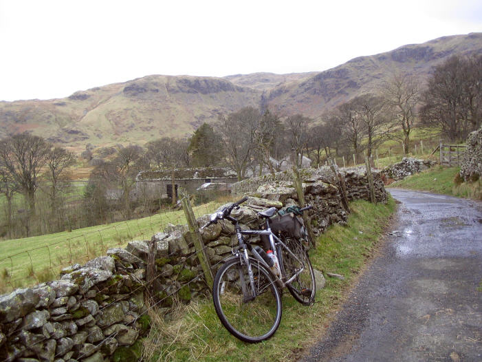
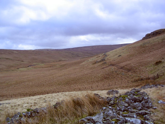
A 13.6 mile ride up Wet Sleddale and down Mosedale and Swindale
This is 13.6 mile cycle route, starting and finishing at the car park at Wet Sleddale Reservoir, about 50 percent of the route is off-road. You can see more photos of the route and read ride report which this route is based on at this link. The map you need on this ride is Ordnance Survey Explorer Map OL 5 The English Lakes North-eastern area. You can click here to download the route in Tracklogs Format or click here to download the route in GPS Exchange Format.

To download a route, click the link to gps route file you are interest in downloading, then click ‘save link as’ to download gps route file to your computer

'Where's the Brew Stop? The off-road cycle touring website'.
About off- road cycle touring routes, cyclist’s cafes, off-road cycle touring, local group events and good photos.
For cyclists who love off-road leisure cycling in Northern England
About off- road cycle touring routes, cyclist’s cafes, off-road cycle touring, local group events and good photos.
For cyclists who love off-road leisure cycling in Northern England
We use cookies to ensure that we give you best possible experience on our website. By continuing to use the website we assume that you agree to our use of cookies and you read our site privacy policy at this link.
The off-road cycle touring route guide