
A 51.2 mile ride to Sulber Gate
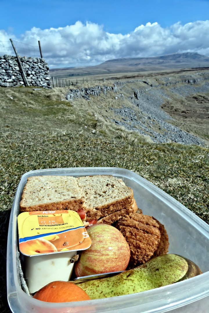
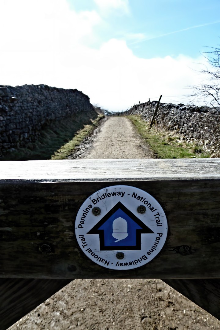
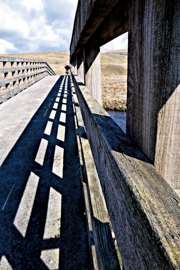
This more of gravel bike route than mountaining bike route and also note route was done in 2015 when the Pennine Bridleway was not mark on the Ordnance Maps so its a bit out where it crosses the River Ribble but otherwise classic route to do on Gravel Bike. It is 51.2 mile cycle route starting and finishing at Halton Station, there are four off-road sections, with two cafe stops at Inglesport Cafe (or may want to try Seasons Cake Shop) in Ingleton and at Pen-y-ghent Cafe in Horton-in-Ribblesdale (This cafe may be close but another link to Middle Studfold Farm Tearoom). You can see more photos of the route and read ride report which this route is based on at this link. The maps you need on this ride is Ordnance Survey Explorer Map OL 41 Forest of Bowland & Ribblesdale and Ordnance Survey Explorer Map OL2 Yorkshire Dales Southern & Western Areas. You can click here to download the route in GPS Exchange Format.

To download a route, click the link to gps route file you are interest in downloading, then click ‘save link as’ to download gps route file to your computer

'Where's the Brew Stop? The off-road cycle touring website'.
About off- road cycle touring routes, cyclist’s cafes, off-road cycle touring, local group events and good photos.
For cyclists who love off-road leisure cycling in Northern England
About off- road cycle touring routes, cyclist’s cafes, off-road cycle touring, local group events and good photos.
For cyclists who love off-road leisure cycling in Northern England
We use cookies to ensure that we give you best possible experience on our website. By continuing to use the website we assume that you agree to our use of cookies and you read our site privacy policy at this link.
The off-road cycle touring route guide